
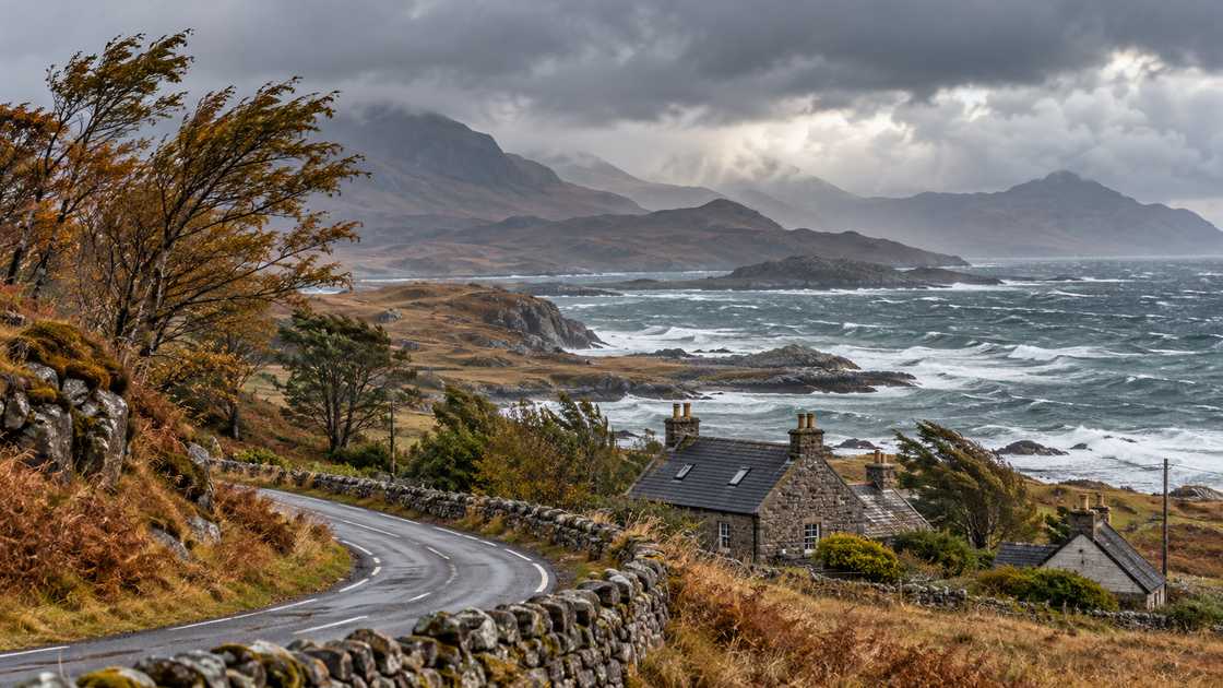
UK weather warning 70mph winds searches are rising on 13 October 2026 as the Met Office warns of strong winds across parts of north-west Scotland on Wednesday, 14 October. The yellow warning covers Highland and Na h-Eileanan Siar from 10am to 7pm BST, with gusts around 70mph possible in exposed coastal and hilly locations. The forecast concerns tomorrow’s weather in a defined area; it is not a warning that every British town will experience those speeds today. Travellers heading north need to check their route and operator updates, while households in the affected area should review practical preparations before conditions deteriorate, reports The WP Times.
The warning was issued at 8.51am BST on Tuesday and describes possible disruption rather than a list of services already cancelled. The immediate questions are where a journey passes through the warning area, when the strongest weather is expected and whether a transport operator has changed its plans. A London departure can still be affected by conditions at a Scottish destination, even if the departure station has comparatively ordinary weather. Readers should retain the date and local time when sharing the warning, because screenshots can outlive their validity. This report separates the current Met Office assessment from general travel and household guidance, with checks for rail passengers, drivers, coastal visitors and people needing additional support during a power cut.
UK weather warning 70mph winds: where and when does the Scottish warning apply?
The Met Office warning identifies a nine-hour period on 14 October, with south to south-westerly winds and the greatest exposure in coastal and hilly locations. Its wording distinguishes gusts from the wind experienced continuously. A yellow warning combines anticipated impacts with the likelihood of their occurrence; it is not a uniform wind-speed label for every point inside a coloured map. The warning text, map boundary and validity times belong together. Someone travelling close to the edge should check the local forecast as well, because a boundary on a national map is not a physical barrier to wind.
“A period of strong winds is expected on Wednesday with some transport disruption likely” (Met Office, yellow wind warning issued 13 October 2026). That statement is a forecast, not confirmation that a particular train, ferry or flight has been withdrawn. A cancellation needs an operator notice. A household outage needs confirmation from the local electricity network. Keeping those sources separate helps readers distinguish a risk they can prepare for from an interruption already happening.
| Check | Current position on 13 October | What to verify before acting |
|---|---|---|
| Warning date | Wednesday, 14 October 2026 | Check the latest issue for amendments |
| Validity | 10am–7pm BST | Compare with the time of your journey |
| Named local authorities | Highland and Na h-Eileanan Siar | Use the map and your actual location |
| Warning colour | Yellow | Read the impact and likelihood information |
| Service disruption | A forecast risk | Check the relevant operator’s live notice |
A search phrase can compress the story until the geographical detail disappears. The words UK weather warning identify the country’s warning service, not necessarily a nationwide event. Similarly, a headline mentioning 70mph may describe an exposed-site gust rather than the wind at a sheltered street. Readers checking a family member’s home should use the town or postcode forecast and the warning map together. Travellers should consider the route between places, not only the origin and destination. A sheltered departure point does not settle the conditions on a bridge or coastal road later in the journey.
Wind gusts and average wind speed: how should readers interpret the numbers?
The Met Office’s measurement guide defines a gust using the highest three-second average wind speed over the relevant period. That differs from the average wind, which describes conditions over a longer interval. A forecast can therefore show a lower average alongside a higher gust value without contradicting itself. The distinction matters for road users and people carrying equipment outdoors: a brief increase can be important even when the general breeze seems manageable. It also matters when comparing an hourly forecast with a warning headline. Compare like with like, preserving the units and the averaging period.
The forecast-symbol guide explains how to read the individual elements of a local forecast. A weather icon, wind arrow and precipitation probability provide different information. An icon showing a dry interval does not establish that the wind will be light. Nor does a percentage chance of rain express the likelihood of a power cut. For a Wednesday outing, read the hourly detail during the planned time outside, then check any warning covering the same location. Screenshots that show only a symbol can omit the element most relevant to the decision.
Two useful questions when a dramatic weather image is shared are whether it shows a forecast or an observation, and whether its location matches the claim. A predicted gust on Wednesday has not yet been measured on Tuesday. A reading from one coastal station does not describe all of Scotland. If the graphic has no issue time, it may have been superseded. If it has no units, the number may be misunderstood. Keeping these details visible requires little extra space and prevents a local forecast from becoming an unsupported national claim.
Yellow wind warnings: why the colour alone does not decide a journey
The Met Office’s warning service considers both potential impact and likelihood. A person making a short sheltered trip, a driver crossing an exposed bridge and someone walking on a ridge face different circumstances even within the same broad area. The colour should prompt a closer reading of the warning, rather than replace that reading. Look at the listed effects and ask which apply to your plans. Then consult the organisation responsible for the road, service or venue. A weather warning is one input; an instruction closing a route or suspending a sailing is another.
There is also a difference between being outside the warning area and being unaffected by disruption. A service may use vehicles, crews or connections that have travelled through a different region. A traveller can miss a connection because the earlier leg was delayed elsewhere. Conversely, a warning does not prove that every service passing through its area will be cancelled. This article does not identify any named operator’s Wednesday service as cancelled without its own notice. The useful next step is to check the journey at the point when a decision needs to be made.

Scottish wind warning travel: what should rail passengers, drivers and ferry users check?
For railway journeys, start with the complete itinerary: departure station, each change, arrival station and the planned return. National Rail’s alerts guidance describes journey-planning and notification tools for checking services. A through ticket does not remove the need to inspect connecting legs. Someone travelling from London to the Highlands should check the northern section and any onward bus or ferry separately. Save the booking reference and ticket details somewhere accessible. If the travel plan depends on a final connection, identify its departure time before leaving home.
The National Rail disruption page is a separate check from the weather forecast. It reports railway information rather than interpreting a national weather headline. Read notices for the date you are travelling, and follow links to the train company where more detail is provided. A notice about a different day should not be treated as current. When a message says a timetable may change, look again closer to departure. Travellers needing assistance should contact the operator if a changed itinerary affects an agreed meeting point or connection.
- Check each train in the itinerary, including the return and the last connection of the day.
- Compare the operator’s date and update time with your booking; keep any revised itinerary.
- Confirm whether onward buses, ferries or flights need separate checks.
- Retain tickets and receipts if disruption leads to a refund or compensation claim.
- Ask the operator about assistance if a route change creates an access problem.
Those checks are particularly useful when a journey has little spare time between stages. For example, a train arrival followed by a ferry departure should be assessed as two linked services, not as two independent bookings that happen to be valid. If the first is delayed, ask the second operator about its policy before assuming it will wait. If a sailing is suspended, confirm whether the operator is offering a transfer, rebooking or refund. There is no universal weather arrangement that can be inferred from the warning colour. Written service information is more useful than an unverified social-media account of someone else’s journey.
Train refunds and Delay Repay: retain the evidence of what happened
National Rail’s refund and compensation guidance distinguishes an unused ticket refund from compensation after a delayed journey. The appropriate route depends on whether you travelled, the disruption and the relevant conditions. A passenger should not assume that one form covers every situation. Keep the ticket, scheduled times and actual arrival information, and use the retailer or operator process identified in the guidance. Check the claim deadline for that scheme. The presence of bad weather does not, by itself, provide the amount payable to an individual passenger.
If an itinerary changes, keep a short record rather than relying on memory several weeks later. Note the train you intended to take, the one used instead and any instruction received from railway staff. Preserve a booking email or screenshot with the date visible. If you paid for an alternative arrangement, retain the receipt and ask the responsible operator about eligibility before assuming reimbursement. These records establish what happened in your journey; they do not guarantee a particular outcome. They also make it easier to explain a missed connection accurately.
Driving in strong winds: assess exposed sections before setting out
The AA’s strong-wind advice identifies open roads, bridges, gaps in hedges and the space beside high-sided vehicles as situations where gusts can have a greater effect. It recommends a lower speed, firm control of the steering wheel and additional room around vulnerable road users. The practical question is where those conditions occur on your planned route. A short distance on a map can include an exposed crossing. Check local road notices and restrictions before departure, and follow signs or instructions from the road authority if they change.
The Met Office’s travel advice also addresses reduced visibility and grip in wet weather. Rain and wind are separate hazards that can occur together. If rain limits visibility, an apparently familiar road still needs a slower approach and more space. A satnav’s predicted arrival time is not an assessment that a route is safe. Do not use an app’s suggested diversion to disregard a closure. If conditions make a journey doubtful, review whether it can be changed rather than treating the original booking time as a reason to continue.
For a work journey, share the revised arrival information with the person expecting you before setting off. For a family trip, establish who will check the operator update and who will retain the booking details. A traveller collecting someone from a station should verify the arriving service, rather than leaving at the original collection time automatically. These are communication steps, not weather predictions. They can reduce unnecessary travel when the position changes. Keep the plan simple enough to use if a mobile signal is poor or the device battery runs low.
Ferry passengers need the notice for their actual crossing, while air passengers need the airline’s flight information and the airport’s current instructions. A broad warning does not determine the operational decision for every vessel or aircraft. An outbound service can also have different conditions from the return. Check before travelling to the terminal, and retain any message changing check-in or departure time. If a connection involves different companies, ask each about the effect of disruption on its part of the itinerary. Do not assume that a weather-related cancellation automatically changes a separate hotel or onward booking.
Wind warning preparation: how should households, coastal visitors and businesses respond?
The Met Office’s strong-wind safety advice recommends checking loose outdoor objects, including bins, pots and garden furniture, and making preparations before high winds arrive. The relevant task is to identify items that could move, rather than attempt risky work while conditions are worsening. A resident can inspect a small outdoor space from a safe position and plan what can be secured or brought inside. A tenant with a building issue should contact the responsible manager. An item that needs specialist work should not become a reason to climb onto a roof in strong wind.
For a business with an outdoor display, deliveries or work at height, the forecast needs to reach the person responsible for deciding how the work proceeds. A weather headline read by one employee does not establish that a site has reviewed its arrangements. Identify the scheduled activity, its location and the time it overlaps the warning. Then use the organisation’s own safety process and any relevant specialist advice. This report cannot declare a particular workplace safe or unsafe from a national map. It can identify the information that should be available to the decision-maker.
Power cuts: prepare lighting, contact details and a workable communication plan
The government’s Prepare campaign advises households to keep practical supplies such as a battery or wind-up torch and a portable phone power bank. It also recommends recording important contacts on paper and considering the needs of other household members. Preparation can be built around items already available, with checks that batteries are working and chargers can be found. A kit is useful only if people know where it is kept. A conversation about what to do can be as important as purchasing another device.
| Household need | Practical check | Information to keep available |
|---|---|---|
| Lighting | Test a battery or wind-up torch | Location of torch and spare batteries |
| Communications | Charge a phone and available power bank | Key contacts on paper |
| Electricity fault | Know the local network reporting route | 105 in England, Scotland and Wales |
| Additional support | Check registration with the supplier | Relevant support and contact details |
| Shared arrangements | Discuss who will contact whom | A simple household plan |
The Prepare power-cut guidance explains that outages can affect communications and connected equipment as well as lighting. It gives 105 as the reporting number in England, Scotland and Wales, with a different service in Northern Ireland. Someone relying on a device should understand its arrangements before a power cut, rather than assume every connected product has a working backup. Contact the provider about the specific equipment if its function is important. The weather warning does not predict an outage at an individual address, but reviewing the arrangements is practical preparation.
People who may need extra help can check Ofgem’s Priority Services Register guidance. Registration concerns support from the supplier or network; it does not make an address immune to a power failure. Check whether your details are current and whether the relevant organisation knows your needs. Someone helping a relative should ask about the relative’s arrangements rather than assume that another household’s registration covers them. Keep the information proportionate and private. A public social-media post is not necessary to tell the supplier about a support need.
Coastal walks and hill trips: use a forecast suited to the activity
The RNLI’s wave-safety guidance explains why conditions at the water’s edge require care. A wave can create a hazard even for someone who has no intention of swimming. The safe viewing point and the route back matter as much as the photograph someone hopes to take. A sheltered car park does not establish that an exposed path is suitable. Check local notices and conditions, and avoid moving closer to the water to obtain a better image. In an emergency at the coast, use the emergency service route identified in official safety guidance.
For hill walking, Mountaineering Scotland’s weather-planning advice stresses the value of a specialist mountain forecast. Conditions higher up can differ from the town at the start of the journey. The route’s exposure, the party’s experience and the ability to turn back need consideration together. A forecast checked several days earlier is not the final check on the morning of the trip. If the route depends on a ridge, do not substitute a low-level town forecast for the relevant mountain assessment. Discuss the alternatives with the whole group before leaving.
Readers arranging a London-based journey or event should therefore check the local forecast for that activity and the Scottish warning only where it affects their route, destination or connections. Do not move the warning boundary to London because the search phrase contains UK. Equally, do not dismiss a northern disruption simply because the weather outside a London window looks ordinary. The live information required depends on the decision: Met Office for the weather, the operator for the service and the venue for access. Preserve the date when passing it on. The current warning is valid on Wednesday, 14 October, and any subsequent change should be checked at the source.
When arranging a group journey, send the current service notice with the date and booking details to everyone travelling. Agree who will check for a further update before departure. That gives the group one shared itinerary and reduces the chance of someone acting on an earlier message.
Materials used: Google Trends United Kingdom, Met Office UK weather warnings, Met Office wind measurement guide, Met Office forecast guide, Met Office strong-wind safety advice, Met Office travel advice, National Rail alerts and disruption information, National Rail compensation and refunds, AA strong-wind driving guidance, UK Government Prepare campaign, Ofgem Priority Services Register guidance, RNLI wave safety, Mountaineering Scotland weather-planning advice.