Frankfurt – New scientific data from Germany’s Eifel volcanic region have raised concern among European geologists and disaster analysts. Instruments have recently detected unusual seismic tremors, rising CO₂ emissions, and gradual ground uplift — all signs that magma deep beneath the surface is slowly moving upward. According to satellite data from the Helmholtz Centre for Geosciences (GFZ) and the University of Mainz, the Eifel area is currently experiencing its most active phase of underground movement in more than two decades, reports The WP Times, citing SoFrankfurt.
Experts emphasize that this is not an immediate eruption alert — but a geological warning signal that the Eifel system remains alive. The region, located between Koblenz, Trier, and Bonn, sits atop a complex web of magma chambers and volcanic vents, many of which are still releasing gases through the surface. The Laacher See, a crater lake formed by a massive eruption around 12,900 years ago, is the clearest reminder of what this system can do: that explosion ejected more than six cubic kilometers of ash and pumice, covering parts of Europe and causing short-term climate cooling.
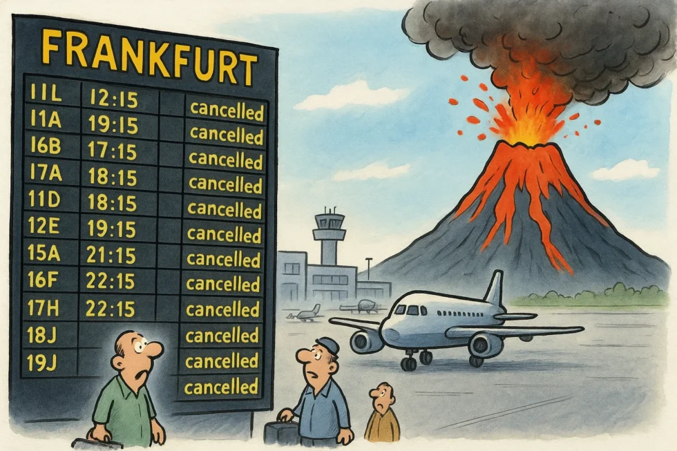
Geologist Prof. Ulrich C. Schreiber from the University of Duisburg-Essen warns that a new eruption — even a small one — could drastically alter the region’s landscape. “If a blast were to occur similar to the one 80,000 or 100,000 years ago, it could block the Rhine River within hours,” he explains. “That would create a natural dam, flooding everything along the river valley, possibly even reaching Frankfurt and its airport.”
The Eifel Plume, a massive column of molten mantle rock stretching more than 400 kilometers deep, remains the driving force behind the area’s activity. Recent satellite and seismic analyses show continuous microquakes, gas anomalies, and thermal irregularities near the Neuwied Basin, north of Koblenz. Scientists describe the phenomenon as a “silent but active system,” where magma slowly rises without breaching the surface.
Although the probability of an eruption in the coming centuries remains extremely low, the potential impact of such an event could be enormous. A large-scale disruption of the Rhine — one of Europe’s major transport and trade arteries — would have devastating effects on logistics, energy supplies, and river infrastructure across western Germany. The Frankfurt Airport, built in a low-lying floodplain of the Main River, would face particular risk if the Rhine’s water levels surged after a blockage.
Germany has one of Europe’s most advanced volcanic monitoring systems, combining seismic sensors, satellite imaging, and chemical gas analysis. However, researchers warn that geological and climate risks must be considered together, as heavy rainfall and melting snow could worsen the impact of any natural damming caused by volcanic activity.
According to The Times, the current data underline the need for stronger regional emergency planning and better public awareness of long-term geological risks. “The volcano is not extinct — it’s simply sleeping,” says Prof. Schreiber. “What we see now is the Earth’s slow, deep breathing beneath Germany.”
Read about the life of Westminster and Pimlico district, London and the world. 24/7 news with fresh and useful updates on culture, business, technology and city life: UK Low-Paid Workers to Receive Wage Increase as Real Living Wage Hits £13.45
Source:, citing SoFrankfurt; Helmholtz Centre for Geosciences (GFZ); University of Mainz; Vulkane.net; G.Business.