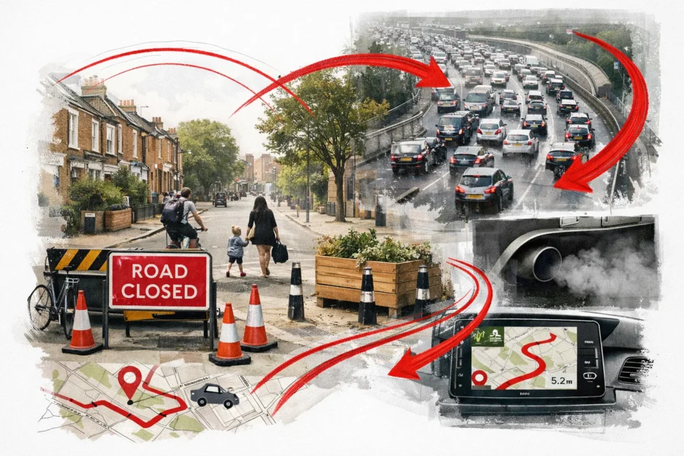
London, 3 January 2026 — A flagship Low Traffic Neighbourhood (LTN) road closure introduced by Islington Council in north London is forcing thousands of vehicles onto longer routes, adding around 1.4 million miles of extra traffic every year and increasing congestion and air pollution across surrounding boroughs, The WP Times reports, citing traffic analysis published by The Times.
The decision to block King Henry’s Walk, a key east–west corridor linking Islington and Hackney, took effect in late 2025 as part of the council’s Mildmay LTN scheme. Since then, cars, taxis and delivery vans have been diverted onto already busy main roads, lengthening journey times and shifting emissions away from the closed street and into neighbouring communities, according to the same Times analysis.
What exactly changed
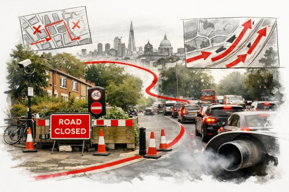
Under the Mildmay Low Traffic Neighbourhood (LTN) scheme introduced by Islington Council, King Henry’s Walkhas been converted from a through-route into a filtered street using a combination of physical barriers and automatic camera enforcement.
The measures include:
- Fixed bollards and planters blocking through-traffic
- ANPR cameras (automatic number-plate recognition) issuing fines to unauthorised vehicles
Under the current rules:
“Only vehicles registered to local residents, emergency services and permitted users are allowed to pass through King Henry’s Walk.”
All other vehicles — including private cars, taxis, delivery vans and ride-hailing services — are automatically diverted onto surrounding main roads, even if the closed street would have been the shortest or least congested route.
In effect, the LTN has turned what was once a key east–west corridor between Islington and Hackney into a local-access road, forcing thousands of daily journeys to take longer, more polluted and more congested alternatives.Islington Council said the goal was to create “quieter, safer streets and cleaner air” inside the neighbourhood. But the data shows that traffic did not disappear — it was displaced.
What the numbers show
Before the Mildmay LTN was introduced, King Henry’s Walk carried between 6,800 and 12,000 vehicles a day, functioning as a primary east–west distributor route between Islington and Hackney (source: The Times).
Traffic modelling indicates that the closure has increased the length of each displaced journey by an average of 0.55 miles, as vehicles are forced onto longer and more congested arterial roads.
Across the full traffic volume, this produces:
- Approximately 4,000 additional vehicle miles every day
- Roughly 1.4 million additional miles each year
In emissions terms, the extra mileage is expected to generate around 400 tonnes of additional carbon dioxide annually, together with elevated levels of nitrogen dioxide (NO₂) and fine particulate matter (PM2.5) on the roads now absorbing the diverted traffic. From a systems perspective, the scheme has not reduced driving demand. It has re-routed it, increasing total distance travelled, fuel consumption and emissions across a wider area than the original street.
Who benefits — and who carries the cost
The closure of King Henry’s Walk has delivered a clear improvement for the 169 households located directly on the blocked street, where vehicle flows have dropped sharply and local conditions have become quieter and cleaner.
However, that benefit has been offset elsewhere. The traffic that once used the street has been redirected onto surrounding roads serving more than 540 homes, a large proportion of which are in high-density and social housing. These neighbourhoods now experience higher traffic volumes, increased noise and greater exposure to exhaust emissionsthan before the scheme was introduced.
In practical terms, the LTN has shifted environmental pressure away from one small area and concentrated it onto a much larger residential population.
Why this matters for London
Low Traffic Neighbourhoods form a central part of London’s climate and public-health strategy. They are designed to reduce car use, improve air quality and make streets safer for pedestrians and cyclists.
The Islington case highlights a structural risk in this approach: if traffic is displaced rather than removed, overall environmental outcomes can worsen rather than improve. Longer routes, slower traffic and higher congestion all increase fuel consumption and emissions, even if one street becomes quieter.
This means that the success of an LTN cannot be judged by conditions on the closed road alone, but by what happens across the wider network of streets around it.
What residents should take from this
For people living in and around the Mildmay area, the data points to several clear effects:
- Journeys are now longer and less predictable
- Pollution is being concentrated on fewer streets
- Noise levels have risen along diversion routes
Islington Council has described the scheme as a trial, with a formal review planned later in 2026. That review will determine whether the closure remains in place, is modified, or is removed.
Campaigners are calling for full transparency on traffic and emissions data, independent modelling of displacement effects, and adjustments if negative impacts persist. Until those questions are resolved, the Mildmay LTN remains a live test of whether London’s street-by-street climate policies are delivering genuine city-wide benefits.
Read about the life of Westminster and Pimlico district, London and the world. 24/7 news with fresh and useful updates on culture, business, technology and city life: Britain’s Bird Flu Surge Forces Edinburgh Zoo to Suspend Its Iconic Penguin Parade