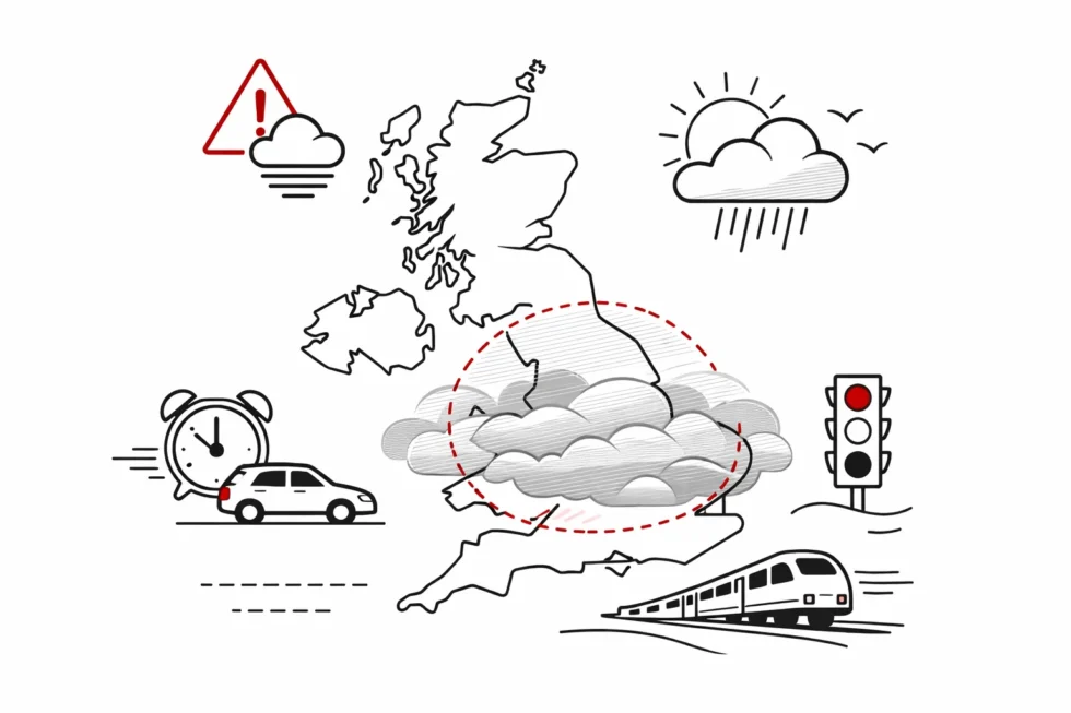
London, Friday 16 January 2026 — A Met Office yellow weather warning for fog is in force across the UK today, with London, Birmingham and much of southern and central England facing reduced visibility and potential travel disruption. The UK weather forecast for 16 January 2026 indicates generally mild temperatures, but dense and patchy fog is creating hazardous conditions on major roads, rail routes and around airports, particularly during the morning commute.
Visibility in some locations may fall below 100 metres, affecting key corridors such as the M25, M6 and A1, and prompting caution from National Highways and rail operators. No snow or ice alerts are in place, but damp surfaces combined with poor visibility remain the main risk on Friday. This is reported by national forecast services and regional updates for 16 January, reports The WP Times, citing official Met Office warnings and guidance.
The alert covers large areas from late on 15 January into the early hours of 16 January, with conditions expected to improve gradually by mid-morning. Drivers are advised to allow extra time, prepare for sudden changes in visibility and take care on rural routes and exposed motorways. Passengers are encouraged to check live travel updates, as delays are most likely between 05:00 and 09:00.
Looking ahead, forecasters expect the fog-prone pattern to ease in the coming days. Met Office guidance suggests a milder and more stable phase from around 20–24 January, as Atlantic airflows strengthen, bringing temperatures closer to or slightly above seasonal averages and more settled conditions toward the end of the month.
What the Met Office warns for 16 January
The Met Office alert for Friday 16 January focuses on visibility risks rather than winter precipitation, with a yellow weather warning for fog in force across parts of England during the early hours. Forecasters stress that conditions can change quickly, creating sudden hazards for drivers, commuters and transport operators. According to the official guidance, the main risks on 16 January include:
- Dense and patchy fog overnight and into the morning, particularly across central and southern England
- Visibility locally reduced to below 100 metres, affecting major roads and rural routes
- Slower journey times during the morning commute, especially between 05:00 and 09:00
- Possible delays to rail services where trains are required to run at reduced speeds
- Minor disruption at airports, with potential knock-on effects to early departures
- Fog slow to clear in some inland areas, persisting well into late morning
While temperatures are generally above freezing in most cities, the Met Office emphasises that damp surfaces combined with poor visibility can still make travel conditions challenging. Motorists are advised to allow extra time, use dipped headlights and expect unpredictable conditions, particularly on motorways, bridges and open stretches of road.
Detailed city-by-city forecast for 16 January 2026
London is expected to see a relatively mild January day on Friday, but calm temperatures do not mean trouble-free conditions. The main issue for the capital on 16 January is not cold or snow, but early-morning fog and reduced visibility, which could affect commuters, drivers and transport schedules. While daytime temperatures will feel comfortable for winter, the start of the day may be slow and difficult for those travelling into the city.
London – detailed forecast for 16 January
- Daytime temperature: around 10°C
- Night-time temperature: around 7°C
- Weather: mostly cloudy with brighter intervals
- Precipitation: occasional light showers
- Main risk: fog and poor visibility during the morning commute
Fog is expected to be most noticeable in outer London boroughs and along major transport corridors. Conditions may improve gradually through the morning, but some pockets of mist and low cloud could remain until late morning in suburban and low-lying areas.
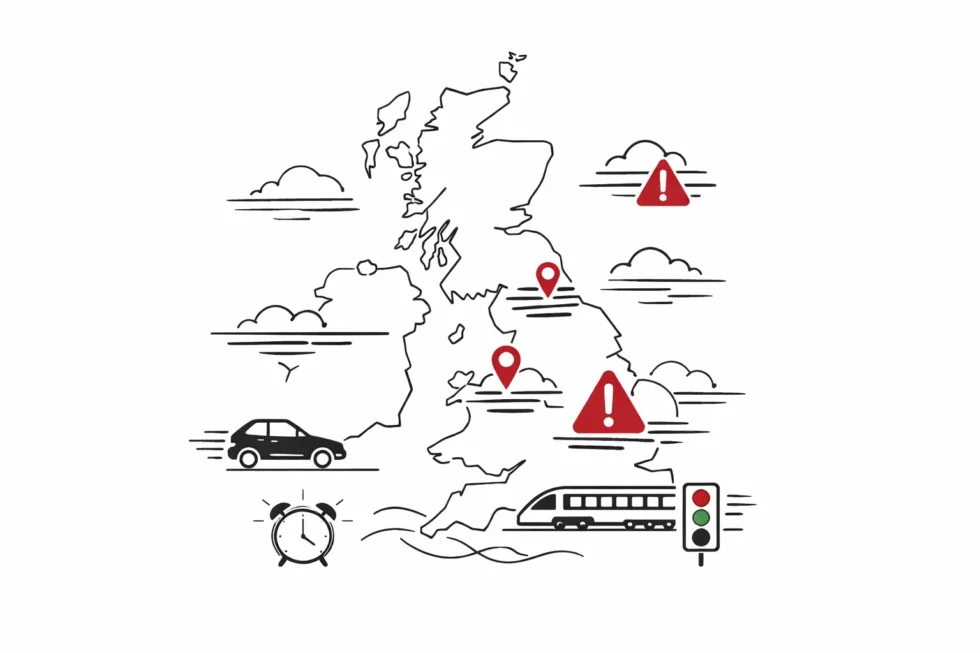
Areas most likely to be affected:
- M25 orbital motorway
- A406 North Circular
- A40 Western Avenue
- A2 and A12 approach routes
- River Thames corridor and parkland districts
Commuters driving into central London should allow extra time, as visibility can change suddenly over short distances. Public transport within the capital is forecast to run normally, but rail services arriving from surrounding counties may experience minor delays where speed restrictions are applied in fog.

London airports, including Heathrow, Gatwick, Stansted and Luton, are not expecting major disruption, but isolated early-morning delays are possible if visibility falls below operational thresholds. By the afternoon, most of the fog should have cleared, leaving London with a generally mild and uneventful winter day, with only brief, light showers and light winds.
Birmingham
- Daytime temperature: around 8°C
- Night-time temperature: around 5°C
- Weather: overcast with short spells of drizzle
- Main risk: fog patches at dawn and during the evening
In Birmingham and the wider West Midlands, visibility may drop suddenly on open stretches of road. Conditions are generally mild, but damp surfaces and mist create challenging driving conditions.
Manchester
- Daytime temperature: around 7°C
- Night-time temperature: around 5°C
- Weather: mostly cloudy, occasional light rain
- Main risk: low cloud and poor visibility
The North West avoids severe winter weather on 16 January, but commuters are still advised to check rail and road updates before travelling early in the day.
Edinburgh
- Daytime temperature: around 4°C
- Night-time temperature: around 0°C
- Weather: cool and cloudy with brief showers
- Main risk: patchy frost in rural areas, local fog
Scotland remains cooler than England, but the primary issue on Friday is not snow, but areas of mist and low cloud, particularly around the Central Belt.
National overview: travel and transport on 16 January
Transport operators across Britain are preparing for a day of minor but widespread disruption.
Road travel
- National Highways advises drivers to use dipped headlights in fog
- Extra caution recommended on bridges and exposed routes
- Sudden drops in visibility possible on motorways
Rail services
- Early-morning trains may run at reduced speeds
- Passengers encouraged to check live departure boards
- Short delays possible on commuter routes
Airports
- Heathrow, Gatwick, Birmingham and Manchester airports warn of potential minor delays
- Fog can affect landing schedules during the morning window
UK temperatures on 16 January: summary table
| City | Day High | Night Low | Main Risk on 16 Jan |
|---|---|---|---|
| London | 10°C | 7°C | Dense morning fog |
| Birmingham | 8°C | 5°C | Fog patches, damp roads |
| Manchester | 7°C | 5°C | Low cloud, reduced visibility |
| Cardiff | 9°C | 6°C | Mist and drizzle |
| Edinburgh | 4°C | 0°C | Fog, isolated frost |
| Leeds | 6°C | 3°C | Foggy morning |
| Bristol | 9°C | 6°C | Poor visibility early |
How 16 January differs from earlier in the month
The weather pattern on 16 January 2026 marks a clear shift from the severe wintry conditions that affected the UK earlier in January. During the first half of the month, Storm Goretti brought heavy snowfall, sub-zero temperatures and widespread travel disruption. By contrast, today’s UK weather forecast is defined by milder Atlantic air, fog risks and damp conditions, rather than snow and ice.
On 16 January 2026:
- No nationwide snow warnings are in place across England, Wales or Scotland
- Temperatures are largely above freezing in London, Birmingham and most major cities
- The main hazard is reduced visibility due to fog, not icy roads
- Any travel disruption is expected to be localised and short-term
- Weather conditions are typical of a mild British winter day
This represents a transition from a true winter storm environment to a more standard mid-January pattern for Britain: cloudy skies, occasional showers and patchy dense fog. For commuters and travellers, the key risk today is not snowfall accumulation, but the potential for sudden drops in visibility during peak travel hours.
Practical advice for Friday 16 January – fog and travel safety
With a Met Office fog warning affecting parts of the UK, transport authorities and safety agencies are urging the public to plan ahead. Even without snow or ice, fog can create significant disruption on motorways, rail routes and at airports.
Official recommendations for 16 January include:
- Allow extra travel time for the morning commute
- Use dipped headlights and fog lights where visibility is poor
- Increase following distances when driving in low-visibility conditions
- Check National Rail and airport status before setting off
- Expect slower journey times on major roads such as the M25, M6 and A1
- Avoid sudden braking and keep speeds appropriate to conditions
Pedestrians and cyclists are also advised to take extra care, particularly at busy junctions and road crossings where drivers may struggle to see clearly in dense fog. Urban areas such as London, Birmingham, Manchester and Leeds are likely to experience the greatest commuter impact during the early hours.
Outlook beyond 16 January – UK weather forecast trends
The Met Office medium-range forecast suggests that the relatively calm and mild pattern is likely to continue into the weekend and early next week. No significant snowstorms are currently expected across Britain.
Long-range guidance for the coming days indicates:
- Temperatures staying close to seasonal averages
- Further spells of fog possible overnight and in the mornings
- A continued mix of cloud, light rain and brighter intervals
- No major winter storms or cold snaps forecast
- Conditions becoming slightly wetter in parts of the UK next week
While Scotland and northern England may see occasional colder nights, the overall pattern points to typical Atlantic winter weather rather than a return to the extreme cold experienced earlier in January.
When warmer weather is likely to return to the UK
According to current Met Office long-range guidance, any meaningful and sustained warming in the UK is most likely toward the final third of January, rather than immediately after 16 January. Forecasters indicate that the cold air affecting parts of Britain in the first half of the month will gradually be replaced by milder Atlantic systems, bringing temperatures closer to or slightly above seasonal averages from around 20–24 January. While short milder spells are possible before then, especially in southern England, the overall pattern for the coming days remains changeable with overnight fog, occasional rain and average winter temperatures. A more settled and consistently warmer phase is not expected until late January or early February, when south-westerly winds are forecast to become more dominant across much of the country.
Read about the life of Westminster and Pimlico district, London and the world. 24/7 news with fresh and useful updates on culture, business, technology and city life: Snow storm weather forecast UK: London and Birmingham face wintry conditions after Storm Goretti