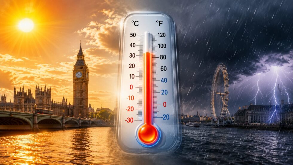
London weather forecast 30 May 2026 is now dominated by one question across the capital: when exactly will the record-breaking heatwave finally break and how severe could the incoming thunderstorms become over the weekend? After several days of extraordinary late-May temperatures that pushed London beyond 34°C and shattered long-standing UK spring records, forecasters are now tracking an Atlantic system expected to push eastwards into southern England between Saturday evening and Sunday morning, bringing a rapid change in conditions across Greater London, Kent, Surrey, Essex and much of the South East. The latest data from the Met Office indicates that while Friday may still feel exceptionally warm across central London, instability is already increasing in the atmosphere, raising the possibility of isolated thunderstorms before heavier rain bands arrive later in the weekend, as The WP Times reports while analysing updated UK weather models and Met Office forecast guidance.
The situation is especially unusual because Britain rarely experiences this level of heat in May for such a sustained period. London recorded temperatures above 34°C earlier this week, while Heathrow, Kew Gardens and Northolt all entered historic territory as meteorological spring records fell across England and Wales. Meteorologists say the current pattern has been driven by a blocking area of high pressure trapping very warm continental air over southern Britain, but that pattern is now weakening as Atlantic fronts begin moving toward the UK from the west. That transition matters because it increases atmospheric energy and moisture levels — the precise combination that can trigger sudden thunderstorms, sharp downpours, lightning and localised flooding after periods of intense heat. The result is likely to be a volatile weather weekend rather than a simple gradual cooling trend.
Why London’s May 2026 heatwave became historically significant
The scale of the current heatwave surprised even professional meteorologists because Britain’s previous May temperature record had stood for decades before being exceeded multiple times within days. According to provisional Met Office data, temperatures reached 34.8°C at Kew Gardens and more than 35°C around Heathrow during the peak of the event, placing London at the centre of one of the hottest May periods ever recorded in the United Kingdom. Forecasters described the conditions as exceptional for spring, particularly because overnight temperatures in some parts of southern England struggled to fall below 20°C, creating so-called “tropical nights” more commonly associated with southern Europe than Britain.
The heatwave also developed unusually early in the season. Britain typically experiences its most extreme heat events in July or August, but this year’s pattern intensified before June had even begun. Meteorologists increasingly connect these early-season extremes to wider climate trends affecting Europe, where spring temperature records have repeatedly fallen during recent years. The combination of dry ground, strong sunshine and stagnant high pressure created rapid heating across urban areas such as London, Birmingham and Cambridge. Concrete-heavy districts in central London retained warmth overnight, producing uncomfortable sleeping conditions and raising health concerns for vulnerable residents.
Transport systems also faced operational pressure. Rail operators introduced speed restrictions in some regions due to track temperatures, while London Fire Brigade issued warnings over wildfire risk in parks, grasslands and open areas around Greater London. Emergency services simultaneously dealt with increased heat-related incidents during the bank holiday period. Several water-related fatalities across the UK during the hot spell prompted renewed warnings about cold water shock and the dangers of swimming during heatwaves.
Record temperatures recorded during the heatwave
Location
Temperature
Kew Gardens
34.8°C
Heathrow
35.1°C
Northolt
34.2°C
Bushy Park
34.0°C
Reading University
33.2°C
The atmospheric setup behind the event was highly stable for several consecutive days, allowing sunshine to dominate across southern England with limited cloud cover. Once the high pressure weakens, however, the atmosphere can shift rapidly from stable to unstable — one reason forecasters are now carefully monitoring thunderstorm potential heading into the weekend.
When thunderstorms are expected to hit London this weekend
Forecast guidance now suggests the first meaningful breakdown of the heatwave is likely to begin late on Saturday 30 May and continue into Sunday 31 May. While London may still see temperatures approaching the high twenties on Friday and early Saturday, weather models increasingly show Atlantic moisture moving eastwards toward southern Britain during the second half of the weekend. The exact timing remains uncertain because convective systems are difficult to predict several days in advance, but forecasters believe conditions will become increasingly unstable over south-east England from Saturday afternoon onwards.
The biggest thunderstorm risk currently appears to be overnight Saturday into early Sunday, particularly across western and southern districts before systems track eastwards into Greater London and Essex. In practical terms, that means Londoners could experience a sequence beginning with warm sunshine and humid conditions during the day, followed by rapidly developing cloud, gusty winds and intense local downpours later in the evening. Some thunderstorms may remain isolated, while others could organise into larger rain bands depending on how quickly cooler Atlantic air pushes into the region.
Meteorologists are watching dew point increases carefully because humid air dramatically increases thunderstorm intensity. Warm surface temperatures combined with incoming cooler upper air can generate strong vertical instability — the mechanism responsible for sudden lightning outbreaks and torrential rain. Although widespread severe storms are not guaranteed, isolated areas could see brief flooding where heavy rainfall falls onto hard-baked urban surfaces unable to absorb water quickly.
The Met Office has already indicated that more unsettled conditions are expected from the weekend onward, with showers and rain becoming more widespread across England and Wales. Some forecast models also indicate the possibility of elevated thunderstorms during nighttime hours, a pattern often associated with humid continental air masses breaking down over Britain.
Possible thunderstorm impacts in London
Sudden heavy rainfall during Saturday night
Localised flash flooding on roads and rail routes
Lightning activity across Greater London
Delays on weekend rail services
Temporary Underground disruptions during intense rain
Gusty winds during storm cells
Rapid temperature drops after storms pass
Difficult driving conditions on the M25 and major routes
"We’ve now provisionally broken the spring and May temperature record," Met Office Chief Operational Meteorologist Dan Suri said while discussing the exceptional conditions affecting Britain this week.
"High pressure is forecast to gradually lose its influence later in the week."
How temperatures in London are expected to change after 30 May
Although the incoming Atlantic pattern is expected to end the most intense phase of the heatwave, forecasters are not predicting a complete return to cold weather. Instead, London is likely to move into a more mixed early-June pattern with alternating periods of sunshine, showers and near-average temperatures. The transition will feel dramatic mainly because the current temperatures are so far above seasonal norms. A fall from 31–34°C toward the low twenties can feel sharply cooler even though those values remain relatively warm for Britain.
Weather models suggest that by Sunday and Monday maximum temperatures across London could settle closer to 21–23°C. That remains mild, but considerably lower than the record-breaking conditions earlier this week. Humidity levels may also remain elevated initially after the thunderstorms, creating a more muggy atmosphere before fresher Atlantic air fully arrives.
Another important shift involves nighttime temperatures. During the peak of the heatwave, some London districts struggled to cool properly overnight, worsening discomfort inside flats and densely built urban areas. Following the weekend breakdown, overnight temperatures are expected to fall more noticeably, improving sleeping conditions across the capital. Breezier Atlantic airflow should also reduce air stagnation over London.
Long-range guidance from the Met Office indicates that early June may remain changeable rather than returning immediately to another major heatwave. Atlantic systems are expected to move more freely across Britain, bringing periods of rain interspersed with drier spells. Southern and eastern England are still expected to remain relatively warmer than northern and western regions, however.
London weather outlook after the weekend
Date
Expected pattern
Temperature trend
Friday 29 May
Hot and sunny
28–31°C
Saturday 30 May
Warm, humid, storms possible later
27–29°C
Sunday 31 May
Cooler with showers
21–23°C
Monday 1 June
Mixed sunshine and rain
20–22°C
Early June
Changeable Atlantic pattern
Near seasonal average
Why forecasters are warning about instability after extreme heat
One of the most misunderstood aspects of British heatwaves is that the breakdown phase can sometimes create more disruption than the heat itself. When very warm air sits over Britain for several days, atmospheric energy gradually builds. Once cooler Atlantic air collides with that unstable environment, thunderstorms can develop rapidly and unpredictably. London is particularly vulnerable because its urban structure amplifies runoff during intense rainfall. Roads, Underground stations and rail infrastructure can struggle when sudden downpours overwhelm drainage systems.
Meteorologists are also closely monitoring lightning risk because elevated thunderstorms occasionally develop overnight after periods of exceptional heat. These systems can produce intense electrical activity while many residents are asleep, increasing risks to transport networks and outdoor infrastructure. Gusty downdrafts associated with thunderstorms can also create localised travel disruption even when storms remain relatively short-lived.
Health agencies remain concerned as well. Britain’s recent heatwave has already triggered amber and yellow health alerts in several regions due to risks facing older people, young children and individuals with respiratory or cardiovascular conditions. Rapid shifts from extreme heat to humid storm conditions can create additional strain for vulnerable groups. Air quality may temporarily worsen before storms arrive because stagnant heat traps pollutants over urban regions such as London.
The wider European weather pattern is also influencing Britain’s conditions. Several parts of western Europe experienced unusually high temperatures during May 2026, including France, Ireland and parts of Spain. Climate scientists increasingly view these earlier-season heat extremes as part of a broader warming trend affecting Europe’s weather systems.
Key questions Londoners are asking about the weekend weather
Will the London heatwave officially end on 30 May 2026?
Probably not immediately. Saturday may still feel very warm and humid across much of London, but the most intense phase of the heatwave is expected to weaken through the weekend as Atlantic systems arrive.
When could thunderstorms hit central London?
Current forecast guidance points toward late Saturday evening into Sunday morning as the main risk period for thunderstorms affecting Greater London and the South East.
Could there be flooding in London this weekend?
Localised flash flooding is possible where heavy thunderstorms develop over urban areas, especially on roads and transport routes with poor drainage.
Will temperatures return to normal after the storms?
Temperatures are expected to fall closer to seasonal averages during early June, although conditions should still remain relatively mild for London.
Is another heatwave expected immediately after this one?
At present, long-range forecasts suggest a more changeable Atlantic-driven pattern rather than another immediate extreme heat event.
What the latest Met Office guidance says about early June
The latest Met Office outlook indicates that Britain is entering a more unsettled weather phase after an exceptionally stable and hot period. Atlantic weather systems are expected to move back across the UK during early June, bringing alternating sunshine, showers and occasional longer spells of rain. Forecasters stress that confidence decreases beyond several days, but the overall pattern now favours greater variability rather than continued extreme heat.
For London specifically, that means residents should expect rapidly changing conditions over the coming week rather than uninterrupted sunshine. While some warmer days remain possible, especially across south-east England, the dominance of the high-pressure system responsible for the May records is now weakening. Weather models increasingly favour westerly airflow replacing the continental plume that pushed temperatures into historic territory.
Meteorologists also note that thunderstorm forecasting remains one of the most complex areas of modern weather prediction. Small changes in moisture, temperature or wind direction can dramatically alter where storms develop. London may therefore see highly uneven conditions during the weekend — one borough remaining dry while another experiences intense rainfall within the same evening.
Even so, one conclusion now appears increasingly clear: the extraordinary phase of Britain’s May 2026 heatwave is approaching its end. The combination of Atlantic rain bands, lower temperatures and growing atmospheric instability signals a major shift after one of the hottest and most unusual spring weather events modern Britain has experienced.
Read about the life of Westminster and Pimlico district, London and the world. 24/7 news with fresh and useful updates on culture, business, technology and city life: London Tube Closures June 2026: Confirmed TfL Closures, Strike Risk and Weekend Disruptions