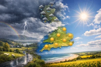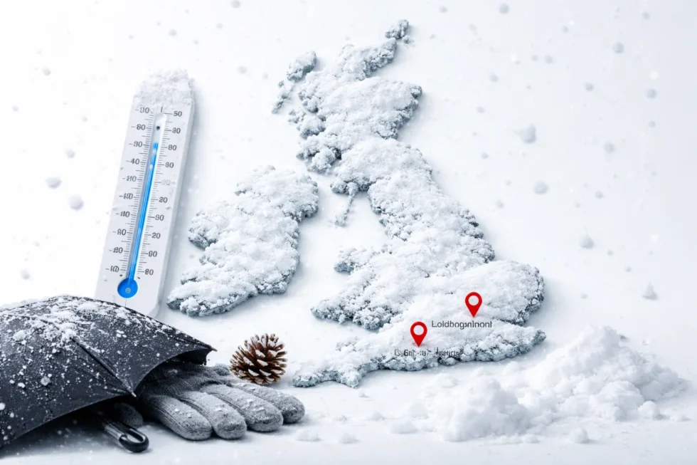
London, Tuesday 13 January 2026 — A snow storm weather forecast UK remains in force as cold air, ice and wintry precipitation continue to affect large parts of the country, including London and Birmingham, following Storm Goretti. Data from the Met Office show that overnight temperatures remain close to or below 0°C in many regions, increasing the risk of snow, sleet and ice on roads and pavements. This is reported by The WP Times, citing the UK Met Office weather warning and forecast maps for 13 January.
Storm Goretti affected the UK between 8 and 10 January, bringing damaging winds, heavy rain and widespread snowfall. Gusts reached close to 99 mph in exposed parts of the South West, causing power cuts, fallen trees and transport disruption. Snow accumulated across Wales, northern England and Scotland, with higher ground recording around 30 cm in places. Rail services were cancelled on several routes, schools closed in some areas and flights were disrupted. By 12 January, thousands of homes in parts of Cornwall and southern England were still dealing with power and water supply problems linked to storm damage.
Weather on 13 January
On Tuesday 13 January, much of the UK remains under cold and unsettled conditions. Daytime temperatures across England and Wales are mostly between 3°C and 6°C, while overnight temperatures fall to 0°C or below in many areas, creating a widespread risk of ice.
In London, temperatures are around 5°C during the day and near 1°C overnight, with cloud, occasional showers and some clear spells. Wet surfaces are freezing after dark, making pavements and side roads slippery.
In Birmingham and the wider Midlands, night-time temperatures are close to 0°C or slightly below, with ice forming on untreated roads and pavements even where no snow is falling.
Further north, including northern England and Scotland, colder air allows snow showers to continue, particularly on higher ground. Daytime temperatures there are often between 1°C and 4°C, with overnight lows down to -3°C, allowing snow and ice to persist.
Snow forecast later this week
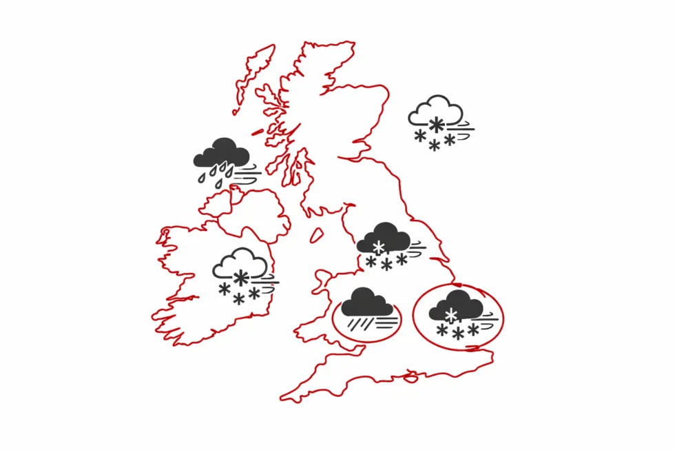
Met Office guidance and Global Forecast System (GFS) models show another Atlantic weather front expected to reach the UK late on Saturday and into Sunday. The system is forecast to bring rain, sleet and snow as it moves into the cold air already in place across the country.
Latest projections indicate:
- Wales and the South West are likely to be affected first late Saturday night, with snow or sleet, especially inland and on higher ground.
- The front then moves eastwards across the Midlands, the Home Counties and London during the early hours of Sunday.
- East Anglia and the South East are more likely to see heavy rain, though this could turn to wet snow where temperatures are close to freezing.
Between 03:00 and 06:00 on Sunday, colder air behind the front could allow rain to turn to sleet or snow in outer London, Essex, Hertfordshire, Bedfordshire and the West Midlands, including Birmingham. Any snowfall in these areas is expected to be wet and short-lived, with limited accumulation on untreated surfaces if temperatures fall to 0°C or below.
Temperature outlook
Forecast guidance shows temperatures remaining close to freezing across much of the UK through the weekend.
Typical forecast ranges are:
- London: 0°C to 2°C overnight, 4°C to 6°C during the day
- Birmingham: -1°C to 1°C overnight, 3°C to 5°C during the day
- Inland Wales: -2°C to 1°C overnight, 2°C to 4°C during the day
- Central Scotland: -3°C to 0°C overnight, 1°C to 4°C during the day
These values mean that snow and ice can persist overnight, particularly on grass, parked cars and untreated roads. The Met Office said on Tuesday 13 January that cold air remains in place across the UK, with overnight temperatures at or below freezing in many areas. Its snow-risk charts show the highest likelihood of lying snow across Wales, the West Midlands, parts of the East Midlands and higher ground in northern England and Scotland, with only patchy, temporary snow possible in outer London.
National Highways said wet roads in several regions are refreezing overnight, increasing the risk of ice.
National Rail confirmed that some routes in Wales, the Midlands and northern England are operating with speed restrictions due to ice and residual snow near the tracks.
Heathrow, Birmingham and Manchester airports said flights are operating normally, with winter and de-icing teamsin place.
Read about the life of Westminster and Pimlico district, London and the world. 24/7 news with fresh and useful updates on culture, business, technology and city life: What is known about UK nasal spray warnings as pharmacists report rising rebound congestion cases