Snow weather forecast Met Office updates from Renews indicate that colder conditions are set to return to the UK by the end of January 2026, with the chill expected to continue into early February, increasing the risk of sleet, snow and icy travel conditions across parts of Britain. Latest Met Office forecasts warn of a developing clash between mild Atlantic air and colder air pushing in from the east – a pattern that could bring more wintry weather from the final days of January and potentially into the first week of February. While London is expected to remain largely affected by rain and strong winds in the short term, northern England and Scotland face a higher chance of snow, particularly on hills and higher routes. This The WP Times report sets out the most recent temperature forecasts, key dates to watch, regional risks and what the Met Office weather warnings could mean for travel across the UK in the days ahead.
What the Met Office forecast says right now
The latest Met Office forecast indicates that the UK is entering a highly changeable period, with two distinct weather phases expected over the next ten days. Forecasters identify:
- A spell of wet and windy conditions through the middle of this week, driven by Atlantic low-pressure systems
- A gradual shift to colder, more wintry temperatures from the weekend, as colder air begins to push in from the east
This means that, for most parts of Britain, the immediate focus remains on heavy rain, strong winds and the risk of localised flooding rather than snow. However, meteorologists warn that the pattern is set to change as January progresses. Confidence is growing that:
- Temperatures will fall below the seasonal average from around January 25 onwards
- Northern England, Scotland and higher-ground areas are most likely to see snow or sleet
- Southern England, including London, is more likely to experience cold rain or brief wintry showers rather than significant snowfall
- Overnight frosts will become more common, increasing the risk of icy roads
The Met Office stresses that precise details – such as exactly where and when snow might fall – remain uncertain. Small shifts in wind direction or temperature can quickly alter outcomes, particularly in a country where just one or two degrees can determine whether precipitation falls as rain, sleet or snow.
What this means for the public

For people planning travel or outdoor activities, the forecast carries several practical implications:
- Drivers in northern and upland regions should prepare for possible icy conditions from next week
- Rail and air passengers may face delays due to strong winds and heavy rain in the short term
- Commuters in London should expect wet and blustery weather rather than disruptive snow for now
- Those living in Scotland and northern England are advised to monitor updates closely as the colder air arrives
In short, the current Met Office message is clear: the coming days will be unsettled and mild, but the end of January looks increasingly colder and more wintry.
Temperature forecast – region by region
To help readers understand where wintry weather is most likely, Renews has broken down the latest Met Office temperature outlook by region. The figures below reflect typical daytime and night-time ranges expected over the coming days.
| Region | Daytime temperatures | Night temperatures | Likely conditions | Snow risk |
|---|---|---|---|---|
| London & South East | 8–11 °C | 5–7 °C | Rain and wind | Low |
| Midlands | 6–9 °C | 3–5 °C | Showers, colder nights | Low–Moderate |
| Northern England | 3–6 °C | 1–3 °C | Cold rain, hill sleet | Moderate (hills) |
| Wales | 5–8 °C | 2–4 °C | Blustery, wintry on high ground | Moderate |
| Scotland Lowlands | 2–5 °C | 0–2 °C | Frosty nights, mixed precipitation | Moderate |
| Scottish Highlands | 0–3 °C | –2–1 °C | Snow and ice likely | High |
What these numbers mean in real life
- London and the South East remain comfortably above freezing for most of this week. Rain and strong winds are far more likely than snow.
- In the Midlands, colder nights increase the chance of sleet, but widespread snow is still not expected.
- Northern England and Wales may see snow mainly on hills and higher routes, particularly overnight.
- Scotland, especially the Highlands, faces the greatest risk of genuine wintry conditions, including lying snow and icy roads.
Heavy rain before the cold arrives
Britain will face several days of unsettled weather before any genuine winter conditions develop. The Met Office has already issued yellow weather warnings for heavy rain across north-east Scotland, in force from Wednesday 22 January to Friday 24 January. This is currently the most immediate weather threat.
What the warnings mean
Forecasters say:
- Up to 120 mm of rain could fall in parts of north-east Scotland – close to a month’s worth in just a few days
- The ground is already saturated following recent downpours and thawing snow
- Rivers are running high, increasing the risk of local flooding
- Strong winds may add to disruption on roads and railways
For most of southern England, including London, this period will remain relatively mild. The main impacts are likely to be:
- Surface water on roads
- Reduced visibility in heavy rain
- Slower rail services due to strong gusts
In practical terms, the coming days are more about wet and windy weather than any risk of snow.
When will colder air reach the UK

Forecast models show a gradual but clear shift toward colder conditions as January draws to a close.
Expected timeline
- January 22–23: Mild in the south, colder in Scotland
- January 24–25: Temperatures begin to drop nationwide
- January 26–28: More widespread frosts overnight
- January 29–February 1: Greatest chance of sleet and snow
Meteorologists describe the period as a classic “battleground” between Atlantic and continental air masses. That makes precise snowfall predictions difficult until much closer to the time.
Where is snow most likely to fall
At this stage, forecasters are most confident about wintry conditions in higher and northern parts of the UK.
Highest-risk areas
- The Scottish Highlands
- The Grampian region
- The Pennines
- Higher parts of northern England
- Upland routes in Wales
Lower-risk areas
Major lowland cities – including London, Manchester, Birmingham and Bristol – are more likely to experience:
- Cold rain
- Occasional sleet
- Brief wintry showers
Rather than any significant or long-lasting snowfall. Key factor: elevation. Snow is far more likely on hills and exposed high-level roads than in urban centres.
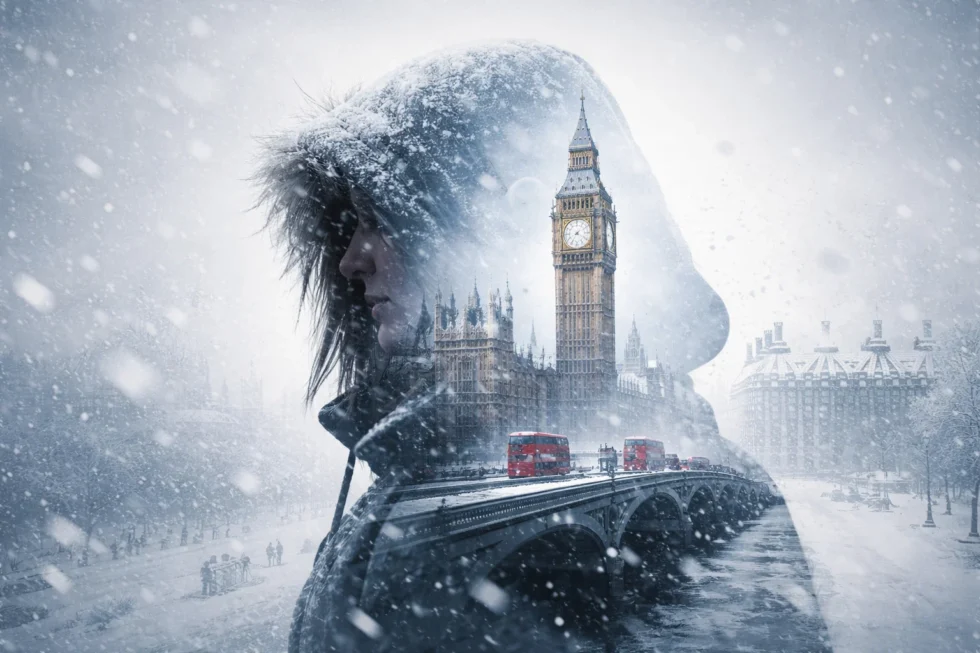
London snow outlook – what to expect
London has enjoyed mild conditions for much of January, but that is expected to change next week.
Possible London snow window
Current long-range projections suggest:
- A chance of wintry showers between January 27 and February 1
- Any snow most likely overnight or early in the morning
- Daytime temperatures around 3–6 °C
- Night temperatures potentially falling to 1 °C
At present, any snowfall in the capital is expected to be:
- Light
- Short-lived
- Unlikely to settle for long
- More of a wintry mix than a disruptive event
In other words, London may feel colder next week – but major snow disruption is not currently on the cards.
Why UK snow forecasting is so difficult
Britain’s location makes winter forecasting unusually complex. Forecasters must balance:

- Cold air from continental Europe
- Mild, moist air from the Atlantic
- Rapidly changing weather fronts
- The moderating influence of surrounding seas
Often, the difference between rain and snow comes down to just one or two degrees. That is why reliable, detailed snow forecasts are rarely issued more than 48–72 hours in advance.
How travel could be affected
Across the UK
Over the next week, travellers should prepare for:
- Slower road journeys due to heavy rain and spray
- Possible rail delays caused by strong winds
- Icy conditions on high-level routes in northern Britain
- Short-notice cancellations if snow develops later next week
In London
For the capital specifically:
- Major snow disruption is not expected at this stage
- Rain and strong winds are more likely to cause problems
- Morning commutes may be affected by poor visibility and surface water
Practical advice for the coming days
The Met Office recommends that people:
- Check weather forecasts and warnings daily
- Allow extra time for journeys
- Avoid unnecessary travel in affected northern regions
- Ensure vehicles are winter-ready
- Monitor airline and rail operator updates
What the snow weather forecast Met Office guidance really means
Based on the latest Met Office analysis, the outlook for the coming days can be summarised clearly:
- Northern Britain: a genuine and growing chance of snow and ice, particularly across Scotland, northern England and upland routes, where colder air is most likely to take hold
- Southern England: predominantly rain and strong winds in the short term, with only a limited risk of sleet or brief wintry showers
- London: a possibility of light wintry showers next week, mainly overnight or early in the morning, but no significant or disruptive snow event is currently expected
The key period to watch remains January 27 to February 1, when colder air from the east is most likely to influence UK weather patterns and increase the chance of sleet and snow, especially outside lowland southern regions. For the moment, however, the immediate story is more straightforward: much of Britain will first face several days of heavy rain, saturated ground and strong winds, creating a higher risk of travel delays and localised flooding before any colder conditions arrive.
Read about the life of Westminster and Pimlico district, London and the world. 24/7 news with fresh and useful updates on culture, business, technology and city life: UK weather forecast 16 January 2026: Met Office fog warning affects London, Birmingham and major cities