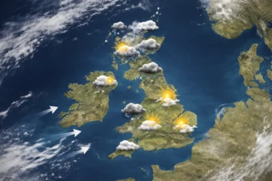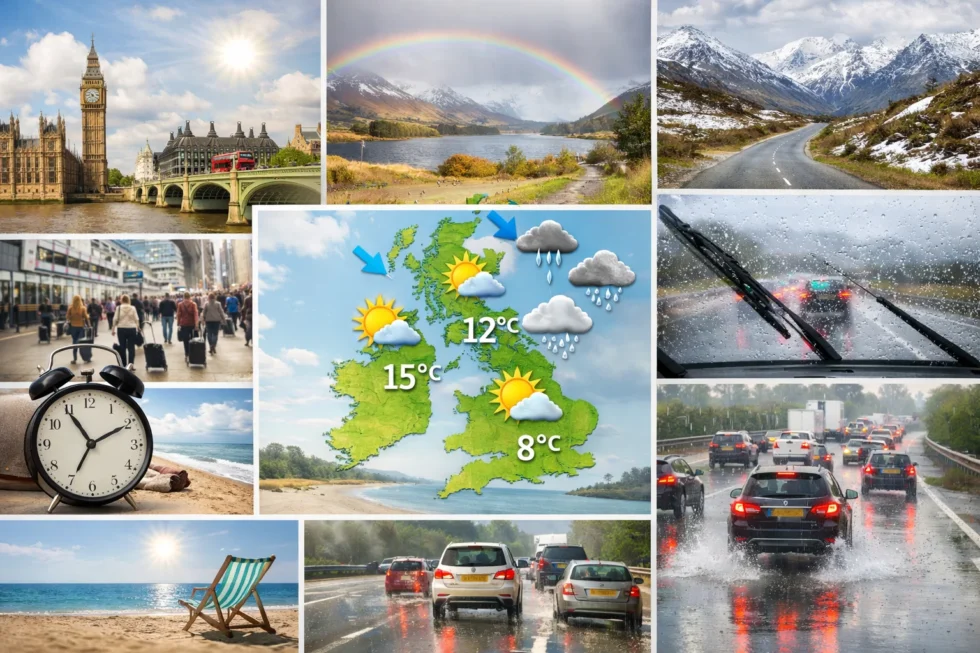
The weather forecast UK weather today 11–12 April indicates a clear transition back to a more typical spring regime across London, England and Scotland, as mild but variable conditions replace the unusually warm spell recorded earlier in the week. Daytime temperatures in southern England, including London, are expected to reach 14°C to 17°C, remaining slightly above the April norm, while northern areas — particularly Scotland — will stay cooler and more unsettled, with frequent cloud cover and passing bands of rain moving in from the Atlantic— reported by The WP Times, citing the Met Office.
The weather forecast UK weather today 11–12 April further highlights a pronounced north–south divide across Britain: London and the South East are likely to see longer dry intervals and brighter spells, whereas Scotland and parts of Northern England will experience more persistent showers, thicker cloud and locally stronger westerly winds. No severe weather warnings are in place, but the timing of cloud and light rain will remain a key factor for planning, especially from Saturday afternoon into Sunday, when scattered showers may develop within an otherwise mild and changeable pattern.
Saturday 11 April weather forecast UK weather today across regions
Saturday begins under weak high pressure influence in the south, while Atlantic systems approach from the west, bringing increasing cloud and patchy rain later in the day across Britain. London and the South East will start relatively bright, but conditions will gradually turn more overcast as the afternoon progresses, with light drizzle possible towards evening. The Midlands and Wales will see a faster increase in cloud cover, with scattered showers developing earlier. Northern England and Scotland remain more unsettled throughout, with bands of rain moving eastwards. Winds will stay moderate, mainly south-westerly, helping maintain mild temperatures despite cloud. Overall, Saturday is usable but not fully settled.
| Region | Temperature | Conditions (Morning) | Conditions (Afternoon) | Rain Risk | Wind |
|---|---|---|---|---|---|
| London & South East | 14–16°C | Bright intervals | Cloudy, light drizzle | Low–Medium | Light SW |
| Midlands | 12–15°C | Partly cloudy | Showers developing | Medium | Light–Moderate |
| Wales | 11–14°C | Cloud increasing | Patchy rain | Medium | Moderate |
| Northern England | 10–13°C | Cloudy | Rain bands | Medium–High | Moderate |
| Scotland | 9–12°C | Overcast | Persistent rain west | High | Moderate–Fresh |
Saturday’s structure reflects a transition phase, where dry air in the south is gradually replaced by moist Atlantic air, leading to increasing cloud and weak precipitation.
Sunday 12 April weather forecast UK weather today outlook
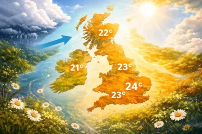
Sunday brings a more unstable but brighter pattern, especially in southern regions, as the earlier frontal system clears eastwards and allows for sunny intervals to develop. London and the South East will benefit from clearer skies by late morning, with temperatures rising to around 15–17°C, making it the more favourable day of the weekend. However, the atmosphere remains unstable, meaning isolated showers may still develop in the afternoon. Across the Midlands and Wales, a mix of sunshine and showers will dominate, with slightly lower temperatures. Scotland and Northern Ireland will continue to experience more frequent showers, some heavier and accompanied by stronger winds. Visibility will improve between showers, but conditions will remain changeable.
| Region | Temperature | Conditions (Morning) | Conditions (Afternoon) | Rain Risk | Wind |
|---|---|---|---|---|---|
| London & South East | 15–17°C | Cloud clearing | Sunny spells, isolated showers | Low–Medium | Light–Moderate |
| Midlands | 12–15°C | Mixed cloud | Sunshine & showers | Medium | Moderate |
| Wales | 11–14°C | Cloudy | Showers, brighter spells | Medium | Moderate |
| Northern England | 10–13°C | Showery | Breezy, scattered showers | Medium | Moderate–Fresh |
| Scotland | 10–13°C | Frequent showers | Windy, heavier bursts | High | Fresh Westerly |
Sunday’s pattern is typical of post-frontal spring conditions, where sunshine and showers alternate due to instability in the air mass.
London detailed weekend breakdown and timing
London’s weather over 11–12 April shows a clear improvement trend from Saturday to Sunday, making timing essential for planning activities. Saturday morning will offer the best dry window, with brighter skies and mild temperatures before cloud thickens later in the day. Light rain or drizzle may occur in the late afternoon or evening, though totals remain low and disruption minimal. Sunday starts with residual cloud, but conditions improve steadily, with sunny intervals developing by midday. Afternoon conditions are expected to be the most pleasant of the weekend, with mild temperatures and only a small risk of brief showers. Winds remain light enough to maintain a comfortable feel throughout.
| Time Period | Saturday 11 April | Sunday 12 April |
|---|---|---|
| Morning | Dry, bright intervals | Cloudy, improving |
| Midday | Increasing cloud | Sunny intervals |
| Afternoon | Light drizzle possible | Mild, small shower risk |
| Evening | Mostly cloudy | Dry, calm |
The key message for London is clear: Sunday afternoon offers the most reliable weather window.
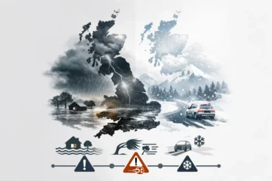
Scotland weather forecast UK weather today differences explained
Scotland remains under stronger influence from Atlantic systems, leading to more unsettled conditions throughout the weekend compared to southern Britain. On Saturday, persistent cloud and rain bands will affect western and northern areas, while eastern regions may see occasional drier breaks. Temperatures remain cooler, generally between 9°C and 12°C, especially under cloud and rainfall. On Sunday, the pattern shifts slightly but remains unstable, with frequent showers replacing longer periods of rain. Winds will strengthen from the west, creating a cooler and more exposed feel, particularly in coastal and highland areas. Sunny intervals will occur between showers, but these will be brief and inconsistent. Overall, Scotland experiences the most changeable weather in the UK during this period.
| Area | Saturday Conditions | Sunday Conditions | Temperature |
|---|---|---|---|
| West Scotland | Persistent rain | Heavy showers, windy | 9–12°C |
| East Scotland | Cloudy, some dry spells | Showers, brighter intervals | 10–13°C |
| Highlands | Overcast, rain | Windy, frequent showers | 8–11°C |
This contrast highlights the classic UK north–south weather divide during spring.
Synoptic pattern and what drives UK weather this weekend
The weather forecast UK weather today 11–12 April is driven by a combination of weakening high pressure and incoming Atlantic disturbances, creating a transitional spring setup across Britain. A ridge of high pressure initially supports drier conditions in southern England, but this quickly gives way to a frontal system moving in from the west. Behind this front, a cooler and more unstable air mass spreads across the UK, leading to the development of showers, particularly on Sunday. The dominant airflow becomes south-westerly to westerly, which explains both the mild temperatures and the variability in conditions. This setup is typical for April, when winter patterns break down and summer stability has not yet established. As a result, rapid changes in cloud, sunshine and rainfall remain a defining feature.
| Weather Driver | Impact on UK Weather |
|---|---|
| Weak high pressure | Early dry conditions in the south |
| Atlantic front | Cloud increase and light rain Saturday |
| Unstable air mass | Showers on Sunday |
| Westerly winds | Mild temperatures, variable conditions |
This combination creates a balanced but changeable weekend across the country.
Read about the life of Westminster and Pimlico district, London and the world. 24/7 news with fresh and useful updates on culture, business, technology and city life: Horoscope today 11 April 2026 in London: love, money and key zodiac winners today