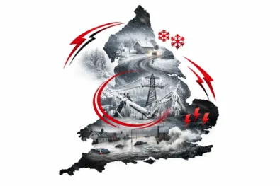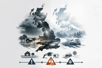
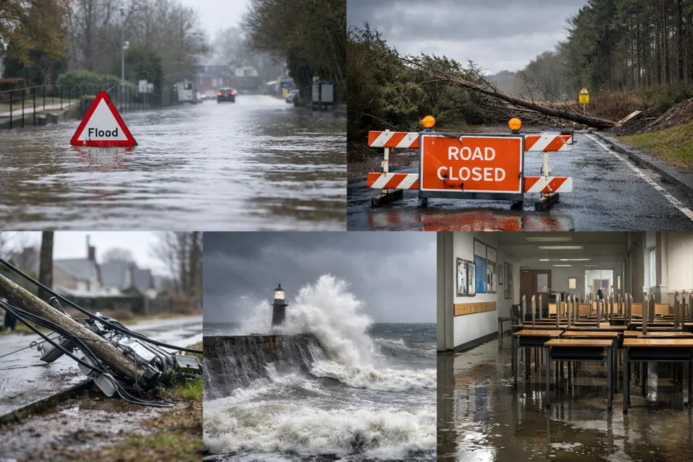
Tuesday, 27 January 2026 — Storm Chandra swept across the United Kingdom overnight under renewed weather warnings Storm Chandra, triggering widespread flooding, power outages and transport disruption from south-west England to Northern Ireland, as emergency services rescued stranded motorists and authorities closed hundreds of schools as a precaution. Gusts of up to 75mph, rainfall totals exceeding 70mm in upland areas and already saturated ground combined to push rivers beyond critical levels, reports The WP Times, citing BBC Weather and Met Office.
The storm — the third named system of 2026 — arrived just days after Storm Ingrid, compounding pressure on infrastructure already weakened by persistent winter rainfall. While Chandra lacks the dramatic coastal surge seen in earlier storms, its impact has been defined by scale and persistence, with slow-moving rain bands and strong winds affecting large parts of the country simultaneously.
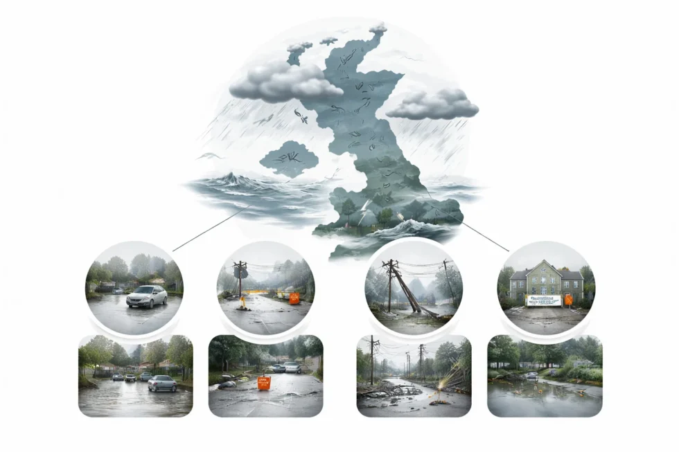
Flooding, rescues and transport disruption across England and Wales
In Devon, Somerset and Dorset, firefighters said they rescued people from 25 vehicles trapped in floodwater during the Tuesday morning rush hour. Several major and minor roads were closed as rivers overtopped banks and drainage systems failed to cope with the volume of rain.
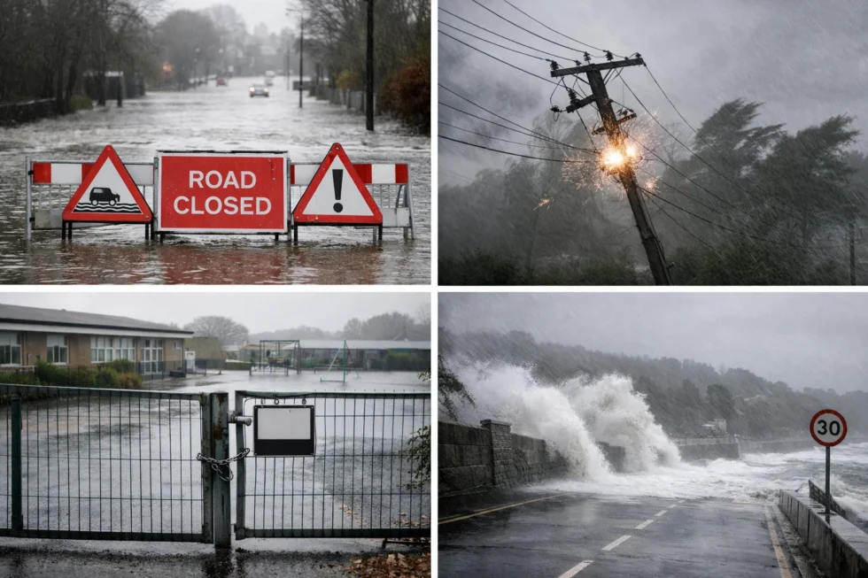
The Environment Agency confirmed that the River Otter reached its highest recorded level in Ottery St Mary, surpassing previous flood records. Residents described fast-moving water carrying debris through normally calm sections of the river. Local police urged people in Exeter, East Devon and Mid Devon to avoid non-essential travel, warning that conditions were continuing to deteriorate.
More than 40 schools across Devon were fully or partially closed, while National Rail said services operated by South Western Railway could face delays and cancellations throughout the day due to flooding, fallen trees and speed restrictions. Ferry services along the south coast also reported disruption as high winds affected sailings. Meteorologists said the greatest risk came from rainfall falling onto already saturated ground, significantly increasing the likelihood of surface flooding and delayed river responses even after rain eased. Amber rain warnings across parts of south-west England were lifted on Tuesday morning, but officials stressed that flooding could continue as rivers peak later in the day.
Northern Ireland faces power cuts, school closures and severe winds
Northern Ireland experienced some of the storm’s most acute impacts, with an amber warning for wind and raincovering Counties Down and Antrim, including Belfast. Gusts of 60–70mph were widely recorded, with exposed coastal areas seeing peaks of up to 75mph.
Thousands of homes were left without electricity as falling trees and wind damage affected power lines. Emergency services confirmed that a woman was taken to hospital after a tree fell onto a car in County Fermanagh during the morning commute. Her injuries were not believed to be life-threatening.
Education providers moved rapidly to reduce travel. More than 300 schools across Northern Ireland closed, while universities and colleges — including Belfast Metropolitan College, Southern Regional College and Ulster University — shifted to online learning, postponing examinations and campus-based activities.
Local councils closed parks, playgrounds and recycling centres, while transport authorities warned of delays across rail and ferry networks. The Met Office said rainfall totals of 20–30mm were likely across much of the region, with 50–70mm possible on higher ground, increasing the risk of further flooding and power disruption.
Key impacts by region
| Region | Main impacts | Key figures |
|---|---|---|
| South-west England | Flooded roads, rescues, school closures | 25 vehicle rescues, river records broken |
| Devon | Severe river flooding, travel warnings | River Otter at highest recorded level |
| Northern Ireland | Power cuts, school closures, wind damage | 300+ schools closed, gusts up to 75mph |
| Transport networks | Rail, ferry and flight disruption | Delays and cancellations nationwide |
As Storm Chandra begins to move eastwards, forecasters warn that its after-effects will linger. Rivers are expected to remain high, and authorities continue to urge residents to monitor flood alerts, avoid driving through floodwater and secure loose outdoor items.
The storm adds to a growing sequence of winter weather events placing sustained pressure on the UK’s transport, energy and education systems — a reminder that disruption is increasingly shaped not by a single extreme moment, but by the cumulative impact of repeated storms.Read about the life of Westminster and Pimlico district, London and the world. 24/7 news with fresh and useful updates on culture, business, technology and city life: What is Storm Chandra and why does it raise flooding, wind and snow risks across the UK