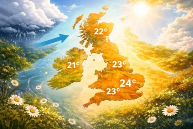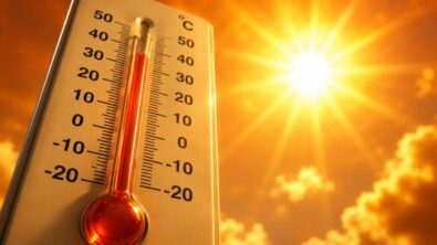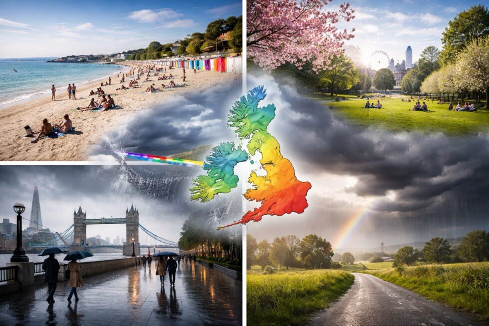
The weather forecast for 10 April 2026 in the UK marks a decisive atmospheric shift, as the exceptional early April heat wave conditions that pushed temperature levels above 26C give way to a structured cooling pattern driven by Atlantic systems, with rain sweeping across Britain and a rapid return to seasonal norms — a transition that defines the broader weather this week dynamic across the country. The contrast between record-challenging warmth and incoming cooler air highlights how volatile the current weather UK pattern has become, particularly following continental airflow that temporarily boosted weather in London and southern England far above average levels — reported by The WP Times, citing the Met Office.
Why the weather forecast changes so sharply on 10 April
The underlying mechanism behind this abrupt change in the weather forecast lies in the breakdown of a high-pressure ridge that previously dominated the UK. During the peak warmth phase earlier in the week, a south-easterly airflow transported unusually warm continental air across England and Wales, supported by clear skies and strong April sunshine. However, by 10 April, a well-defined Atlantic фронт pushes in from the west, replacing stable air with a more dynamic and unstable system. This results in:
- A band of rain moving south-east across the UK
- A shift in wind direction from south-easterly to north-westerly
- A sharp drop in temperature across all regions
- Increased cloud cover and scattered showers
This transition is not random — it reflects a classic spring pattern where warm spells are quickly interrupted by Atlantic-driven systems. In meteorological terms, the UK moves from a “blocking high” scenario to a “zonal flow” setup, restoring typical April variability.
Temperature breakdown across the UK on 10 April 2026
The temperature profile on 10 April shows a clear divide between pre-frontal warmth in the south-east and cooler conditions spreading nationwide.
| Region | Morning Temperature | Afternoon Peak | Evening Trend |
|---|---|---|---|
| London & South East | 12–14°C | 18–20°C (before rain) | Falling to 10–12°C |
| Midlands | 10–12°C | 14–16°C | Cooling quickly |
| East Anglia | 11–13°C | 17–19°C | Rain arrives later |
| South West | 9–11°C | 13–15°C | Showery and breezy |
| North West England | 8–10°C | 12–14°C | Cooler air established |
| Scotland (East) | 7–10°C | 15–18°C | Sunny intervals then cooler |
| Scotland (West) | 6–9°C | 10–13°C | Rain and stronger winds |
| Northern Ireland | 7–10°C | 11–14°C | Cloudy with rain bands |
| Wales | 8–11°C | 13–16°C | Showers developing |
Compared to the previous day’s peak of 26.6°C recorded at Kew Gardens in London, this represents a drop of more than 10°C in many areas — a significant correction in the weather UK pattern.
London weather 10 April 2026: sharp transition from residual warmth to Atlantic-driven cooling
The weather in London on 10 April 2026 begins under the fading influence of the early April warm spell but shifts rapidly as an Atlantic frontal system advances from the west, replacing stable, sunlit conditions with a cooler and more unstable air mass. The morning remains relatively settled, with broken sunshine and temperature values around 13–15°C, but this stability weakens quickly. By early afternoon, cloud thickens decisively ahead of the фронт, with a short-lived pre-frontal peak allowing parts of Greater London to briefly reach 19–20°C — the final extension of the anomalous warmth that has dominated the weather this week.
The transition becomes pronounced through mid to late afternoon as the фронт moves across the capital. Rain spreads steadily, at times intensifying, while winds shift to a north-westerly direction, introducing distinctly cooler Atlantic air. This change drives a rapid drop in temperature to around 11–12°C, accompanied by reduced visibility during heavier bursts of rain and a more unsettled feel overall. By early evening, the rain clears eastwards, but the air mass behind it is notably cooler, marking a clear and measurable break from the unusually warm conditions observed earlier in the week.
This shift also reframes the recent warmth: despite references to a heat wave, the episode is more accurately classified as a short-lived but significant warm anomaly. With 26.6°C recorded at Kew Gardens — the highest temperature of 2026 so far and roughly 10°C above the seasonal norm — the event ranks among the most notable early April warm spells on record, though still below the historic April high of 29.4°C set in London in 1949. The arrival of the rain band on 10 April therefore represents not just a daily weather change, but a structural reset of the weather UK pattern, reinforcing a broader trend of increasingly sharp and short-lived temperature fluctuations in spring.
Read about the life of Westminster and Pimlico district, London and the world. 24/7 news with fresh and useful updates on culture, business, technology and city life: Horoscope today 10 April 2026 in London: which zodiac signs will be lucky in love, who may gain money and how the Moon affects decisions