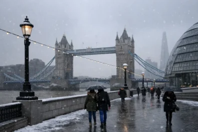
Britain will move into the most dangerous phase of Storm Goretti on Thursday 8 January, as heavy snow, violent winds and torrential rain combine to create severe disruption across large parts of the country. The Met Office has confirmed that Amber warnings remain in force for snow and wind, with conditions expected to deteriorate rapidly from the early hours of Thursday through to Friday morning. The WP Times reports, citing official Met Office data.
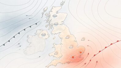
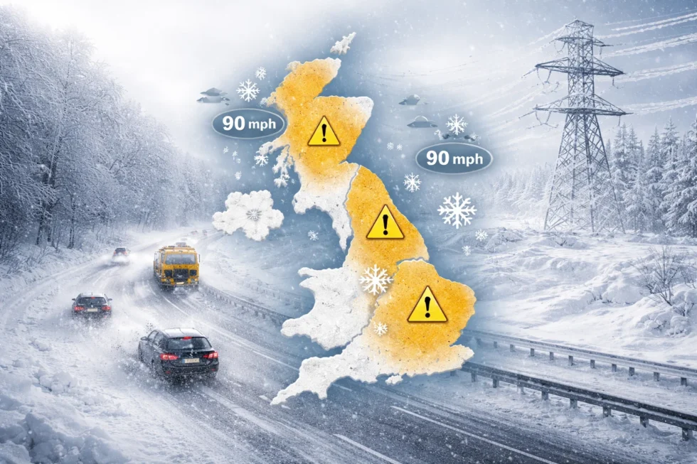
Forecasters now say the storm’s track is firmly set, with Wales and the Midlands facing the highest risk of deep snowfall, while south-west England and Cornwall remain under Amber wind warnings due to the threat of gusts reaching 80–90mph in exposed coastal areas.
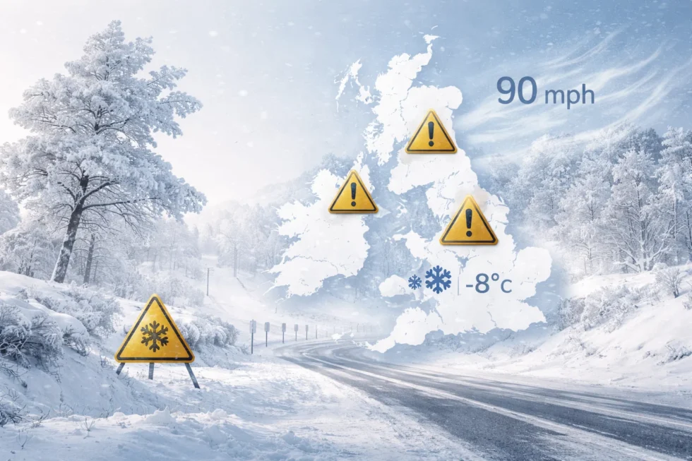
Snowfall is expected to spread across Wales, the West Midlands, the East Midlands and parts of central England from early Thursday. Widespread accumulations of 5–10cm are expected, with 15–25cm on higher ground and local totals close to 30cm in the most exposed areas. Snow will be accompanied by freezing temperatures, leading to ice, drifting snow and rapidly deteriorating road conditions.
At the same time, a powerful jet of Atlantic air will drive gale-force winds across southern and western Britain. Gusts of 50–60mph are forecast widely, rising to 70mph on coasts and hills, and reaching up to 90mph in Cornwall and the Isles of Scilly. These wind speeds are high enough to bring down trees, damage buildings and cut power supplies. Heavy rain will also affect parts of southern and eastern England on Thursday night, adding a further risk of local flooding, particularly where snow melts quickly or where ground is already saturated.
How to check if you are in an Amber warning area
The Met Office has advised the public to monitor official warnings closely as small changes in the storm’s track could alter which areas are most affected. To check your local risk:
- Go to the Met Office weather warnings page
- Enter your postcode or town
- Look for Amber or Yellow warnings for snow, wind or rain
- Check the valid times, especially for Thursday night and early Friday
Amber warnings mean there is a high likelihood of disruption, including road closures, power cuts and public transport cancellations.
What this means for travel and daily life
On Thursday, the Met Office and RAC expect:
• Delays and cancellations on rail and bus networks
• Hazardous driving conditions due to snow, ice and debris
• Increased vehicle breakdowns
• Possible school and workplace closures in the worst-hit areas
Drivers are being advised to avoid non-essential journeys, carry winter supplies and stick to major routes where gritting is more likely.
What happens after Thursday
Storm Goretti is forecast to clear the UK during Friday 9 January, moving east into the North Sea as pressure begins to rise from the west. This will allow a temporary easing of conditions on Saturday, with winds dropping, fewer showers and some brighter intervals. However, temperatures will remain close to or below freezing in many areas, so ice, lying snow and untreated roads will continue to pose risks even after the main storm has passed.
By Sunday and Monday, the weather pattern is expected to become unstable again. Forecast models show milder Atlantic air pushing in from the west while cold continental and Arctic air remains over the UK. This increases the likelihood that any new rainfall will fall as snow, particularly across Wales, the Midlands, northern England and parts of Scotland.
The Met Office has warned that this atmospheric set-up could lead to another round of disruptive snowfall early next week, even though Storm Goretti itself will no longer be present. For now, Thursday 8 January through to early Friday remains the highest-risk period, with Amber warnings in place for snow and wind indicating a significant threat to transport networks, power supplies and public safety across much of the UK.
Read about the life of Westminster and Pimlico district, London and the world. 24/7 news with fresh and useful updates on culture, business, technology and city life: 7 January 2026: UK road network overloaded as M8, M62, M4 and A55 struggle with ice, closures and commuter demand