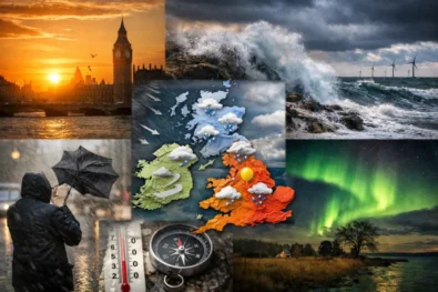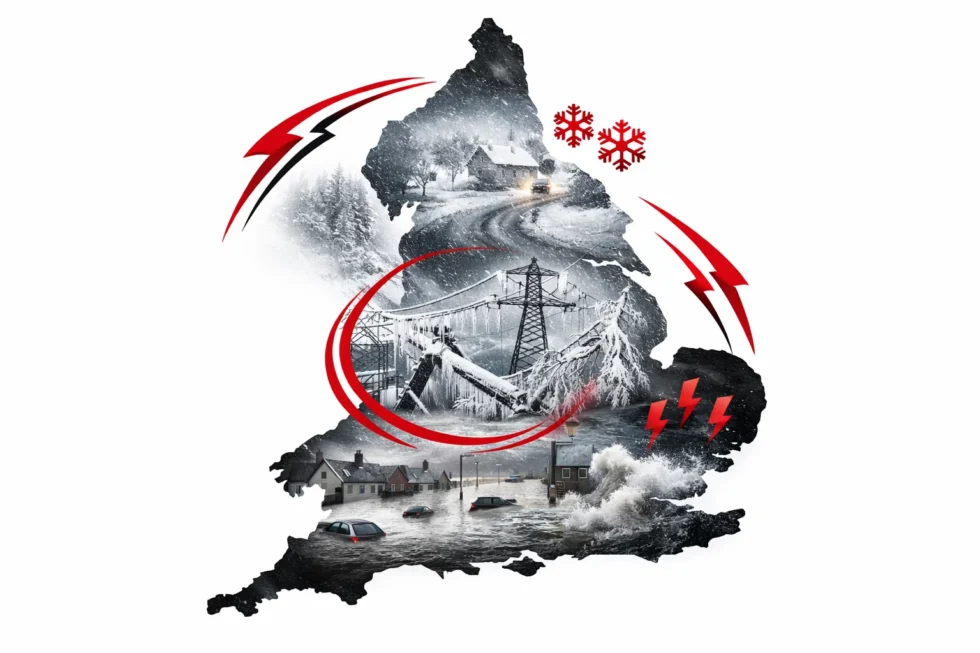
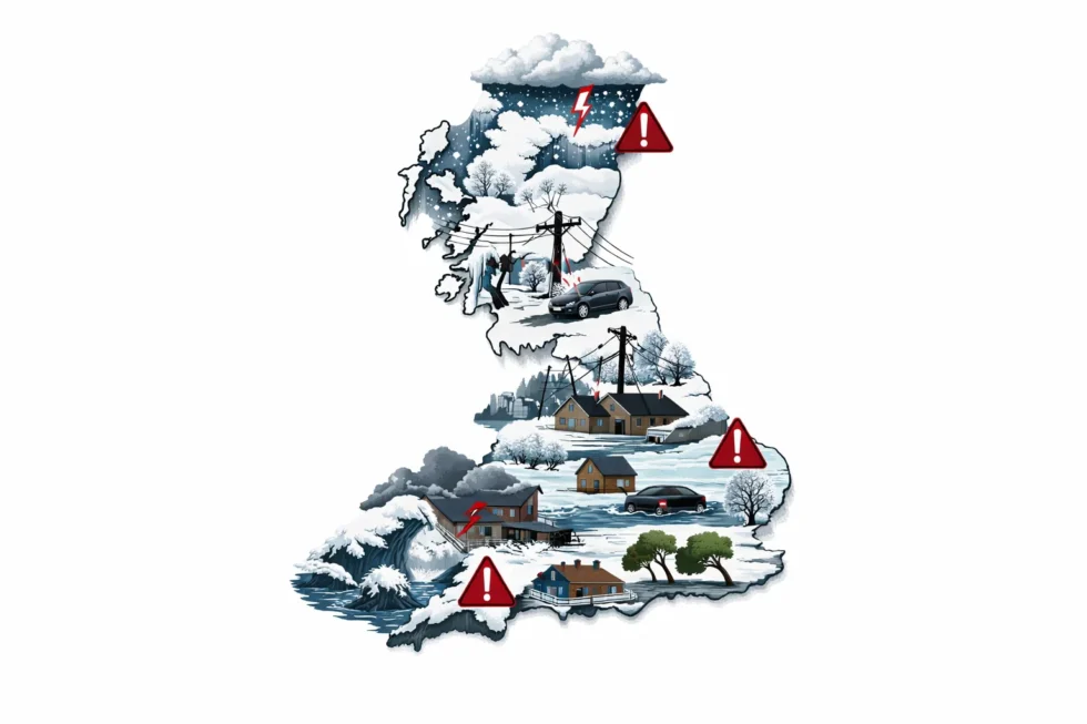
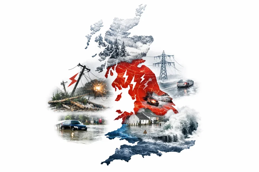
Storm Goretti has entered its most dangerous phase on Saturday 10 January, with more than 60,000 homes without electricity, rivers rising and severe winter weather continuing to disrupt travel, transport and power supplies across large parts of the UK, from Cornwall and Wales to the Midlands, northern England and Scotland, The WP Times reports, citing the Met Office.
Although the storm’s strongest winds have passed, the UK is now facing a more complex and prolonged weather emergency. Rain is falling onto snow-covered and frozen ground, forcing large volumes of snowmelt into rivers and drainage systems, while temperatures are forecast to fall below freezing again overnight — sharply increasing the risk of flash flooding, black ice and dangerous road conditions.
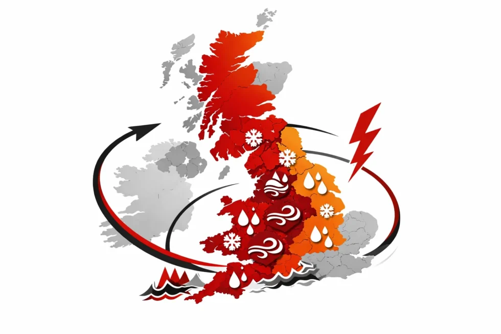
The Met Office says the highest level of danger is now in South West England, where flooding and power failures are happening at the same time. Cornwall, Devon and parts of Somerset are effectively in an extreme-impact zone, with rivers responding rapidly to snowmelt and around 27,000 properties still without electricity.
In Scotland and northern England, the risk is different but equally severe. These areas are facing the deepest snowfall of the storm, with more than 25cm recorded in parts of the Highlands, raising the threat of blocked roads, stranded communities and delayed emergency access.
The Midlands and much of Wales are now in the storm’s most dangerous freeze–thaw phase, where melting snow during the day turns into black ice overnight, creating some of the highest accident risks of the entire event, especially on rural roads, bridges and untreated routes.
The next 24 hours will be defined not just by snowfall, but by the dangerous interaction of thawing snow, heavy rain and falling temperatures, which can cause rivers to rise within hours and turn previously passable roads into hazardous ice sheets, pushing emergency services, councils and power networks under their greatest strain of the storm so far.
Storm Goretti — severity across England
| Region | Main risk | Power outages | Snow / rain | Overall severity |
|---|---|---|---|---|
| South West (Cornwall, Devon, Somerset) | Power cuts and flooding | 27,000 homes (≈45% of UK total) | 50–62mm rain, snowmelt | 🔴 Extreme |
| Wales (Powys, Mid & North Wales) | Ice and surface flooding | Mostly restored | 15cm snow + rain | 🟠 High |
| West Midlands (Shropshire, Staffordshire) | Black ice and access problems | ~2,000 homes | 7cm snow, refreezing | 🟠 High |
| East Midlands | Ice and minor outages | ~300 homes | Freeze–thaw | 🟡 Moderate |
| Northern England (Pennines, North East) | Heavy snow | Localised | 10–20cm uplands | 🟠 High |
| Scotland (Highlands, North East) | Deep snow, isolation | Localised | 22–27cm | 🔴 Extreme |
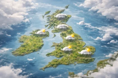
Storm Goretti is not hitting one part of Britain in one way — it is creating different types of crisis at the same time: flooding in the South West, ice and isolation in the Midlands, and deep snow in the north. This is stretching emergency services, councils and energy networks simultaneously across the country.
South West England
Cornwall, Devon, Somerset
The South West remains the most severely affected part of the UK, with Storm Goretti continuing to disrupt electricity, transport, schools and emergency access across wide areas of Cornwall, Devon and parts of Somerset.
In Cornwall and west Devon, where many communities rely on overhead power lines, exposed coastal infrastructure and narrow rural roads, the storm has left large areas without electricity since Thursday night. As of Saturday morning, around 27,000 properties were still without power — meaning thousands of households are without heating, hot water, lighting, mobile phone coverage and broadband.
Rainfall in the region is the highest recorded anywhere in the UK during the storm:
- 61.8mm at Colliford Dam, Cornwall
- Over 50mm in parts of Devon
With snow melting across Dartmoor, Bodmin Moor and inland hills, this water is now flowing rapidly into already saturated rivers and drainage systems. The Met Office says this creates one of the highest flood-risk scenarios, where river levels can rise within hours rather than days, particularly overnight when refreezing also increases the danger on roads.
What is working — and what is not
- Hospitals and emergency departments remain open, but some GP surgeries and community clinics are operating reduced hours
- Many schools in Cornwall and west Devon are closed or running remote learning
- Bus and rail services are running on emergency timetables with widespread cancellations
- Mobile networks are running on backup generators, but coverage may become unstable if power cuts continue
Roads, flooding and emergency access
Emergency crews are still clearing fallen trees from main routes, but hundreds of minor and rural roads remain blocked or only partly passable, leaving some villages effectively isolated. Police and councils warn that roads which appear clear during the day may become impassable after dark as meltwater refreezes.
Residents are being advised to:
- Avoid non-essential travel
- Never drive through floodwater
- Check on elderly or vulnerable neighbours
- Keep phones charged and conserve battery power
- Use 999 only for life-threatening emergencies
The Met Office says the South West is likely to remain at high risk through Saturday night into Sunday, as further rain, melting snow and falling temperatures continue to put pressure on rivers, roads and power networks.
West Midlands
Shropshire, Birmingham, Staffordshire
The West Midlands is entering one of the most dangerous phases of Storm Goretti as melting snow refreezes into widespread black ice. More than 2,000 homes remain without electricity across parts of the region, leaving some households without heating and hot water as temperatures fall again overnight. In Shropshire, around 7cm of snow fell earlier in the storm. During Saturday it melted, but after sunset that water is now turning into ice across roads, pavements and bridges. The Met Office warns that minor roads, shaded routes and overpasses are especially hazardous because they cool faster than main roads. Police say many surfaces that looked wet during the day are now dangerously slippery.
Schools and colleges in some rural areas are either closed or running with reduced attendance. Bus services are operating on limited timetables, and ambulance response times may be longer overnight in icy conditions.
East Midlands
Nottinghamshire, Derbyshire, Lincolnshire
The East Midlands has seen less snowfall than western and northern regions, but the freeze–thaw cycle is now creating growing risks.
Around 300 properties remain without electricity, mainly in rural and semi-rural areas, affecting heating, broadband and mobile phone coverage. The biggest threat now comes from overnight freezing, which is making secondary and country roads increasingly hazardous.
Derbyshire and parts of Lincolnshire are particularly exposed because many rural routes receive limited gritting. The Met Office says ice — not snow — is now the main danger, with a rising risk of accidents even on roads that appear clear.
Northern England
Yorkshire, Lancashire, North East, Pennines
Northern England is moving into the next phase of Storm Goretti as fresh snow arrives on frozen ground. A yellow Met Office warning for snow and ice is in force from 2am to 3pm on Sunday, with:
- 2–5cm of snow expected widely
- 10–20cm above 200 metres, especially across the Pennines
Fresh snowfall is likely to cause drifting, blocked roads and further rail and bus disruption, particularly in upland and rural areas. Authorities warn that some communities could face renewed isolation as conditions worsen overnight.
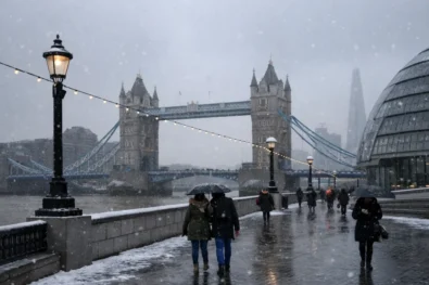
London and the South East
Greater London, Kent, Surrey, Essex, Sussex
London and the South East have avoided the heaviest snowfall, but are now facing dangerous icy conditions as temperatures drop again. Most transport networks remain operating, but black ice is forming on untreated roads, pavements and bridges, especially in suburban and outer-London areas. Police and councils warn that even short journeys could become hazardous after dark.
Airports and rail hubs are working through delays caused by knock-on effects from weather elsewhere in the UK, while local authorities say Sunday morning could see a spike in accidents as overnight freezing takes hold.
The Met Office has issued an Amber warning for Scotland as Storm Goretti enters a more dangerous phase, with fresh heavy snow falling on areas already badly affected before turning to rain as milder air moves in, creating a high risk of travel disruption, power cuts, flooding, slush and black ice; 5–15cm is expected at low levels and up to 20–30cm over higher ground in the Highlands and Aberdeenshire, making Sunday one of the most hazardous periods of the storm for Scotland and northern England.
Read about the life of Westminster and Pimlico district, London and the world. 24/7 news with fresh and useful updates on culture, business, technology and city life: How is Grok AI being used to digitally undress women on Elon Musk’s X without their consent