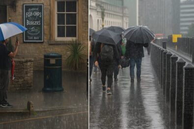
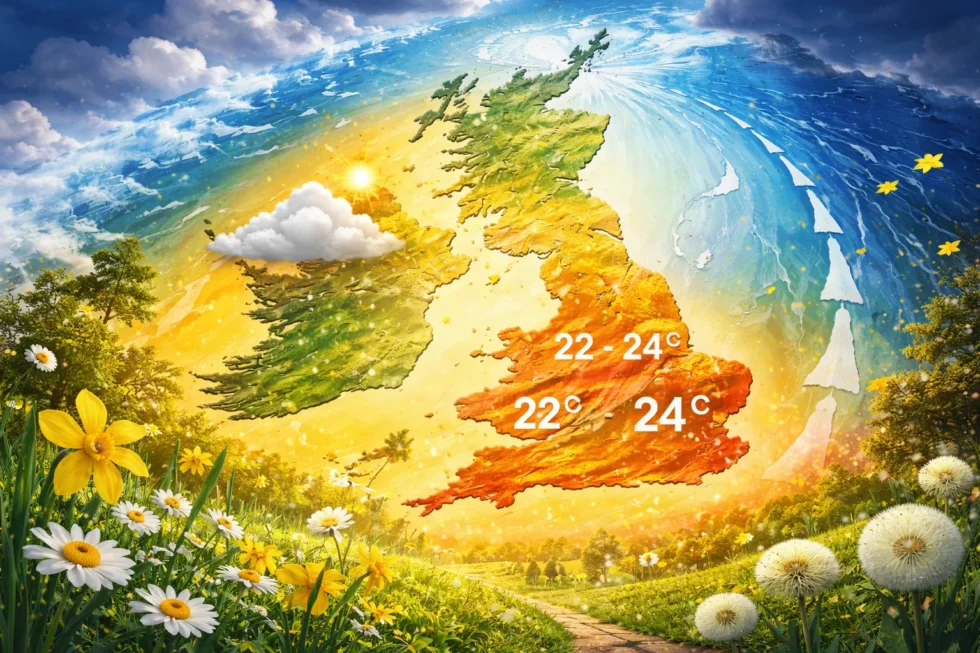
Weather tomorrow 9 April in London and the UK is expected to mark the clear peak of a short but high-impact warm spell, with temperatures rising to 22–24°C across London and the South East before a rapid and structurally predictable cooling phase sets in across Britain later in the week, as the country transitions back to Atlantic-driven conditions, reports The WP Times, citing the Met Office. The current pattern is defined by a temporary but well-aligned shift in airflow from the south, drawing warmer continental air into southern Britain, while a ridge of high pressure stabilises the atmosphere, suppresses cloud formation and allows stronger April sunshine to accelerate surface warming. However, this configuration remains inherently short-lived: forecasters indicate the window of settled and unusually warm weather is limited to approximately 24–48 hours, after which a change in wind direction towards the west will reintroduce cooler, more unstable Atlantic air, bringing temperatures back down towards seasonal norms of 10–14°C along with increasing cloud and a higher probability of rain.
Weather tomorrow 9 April in London and UK: peak warmth before sharp change
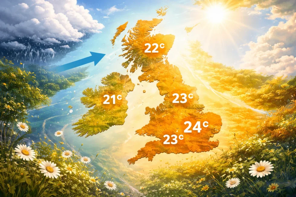
Weather tomorrow 9 April in London and the UK will mark the peak of a short-lived warm spell, with temperatures reaching 22–24°C in London and the South East before a rapid return to cooler Atlantic conditions later this week, according to the Met Office. The setup is straightforward: a temporary southerly airflow is pulling warmer continental air into southern Britain, while high pressure is suppressing cloud and allowing strong April sunshine to drive temperatures higher. This creates stable, dry and unusually warm conditions — but only briefly.
In London, early haze will clear quickly, giving way to long spells of sunshine through the middle of the day. Winds remain light, which means the warmth will build efficiently, especially in central areas. Temperatures will still hold at 13–15°C into the evening, well above the seasonal average. Across the UK, conditions split along a clear north–south line:
| Region | Temperature | Conditions |
|---|---|---|
| London & South East | 22–24°C | Sunny, stable |
| South West | 20–23°C | Bright, dry |
| Midlands | 18–21°C | Sunny intervals |
| North England | 15–18°C | Variable cloud |
| Wales | 16–20°C | Bright spells |
| Scotland | 12–16°C | Cloud, cooler |
| Northern Ireland | 13–17°C | Mixed conditions |
Southern areas briefly reach late-spring levels, while the north remains closer to a typical April pattern. This contrast is standard for this time of year, when warm and cool air masses compete over short distances.
Why it changes quickly: return to Atlantic conditions
The key point is not the warmth itself, but how quickly it breaks down. From Thursday, the airflow shifts back to the west. Atlantic systems move in, bringing more cloud, a higher chance of rain and a clear drop in temperatures to around 10–14°C across most regions. This transition happens fast:
| Date | Temperature | Conditions |
|---|---|---|
| Wed 9 Apr | 22–24°C | Sunny, peak warmth |
| Thu 10 Apr | 13–16°C | Cloud increasing |
| Fri 11 Apr | 11–14°C | Showers, breezy |
| Sat 12 Apr | 9–12°C | Windy, unsettled |
At the same time, warm and dry conditions on Wednesday will push pollen levels higher, especially across southern and central England. Birch and alder are dominant, with early grass pollen beginning to appear, meaning symptoms will peak during the afternoon.
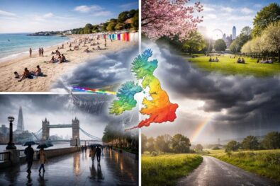
Despite temperatures above 20°C, this does not mark the start of stable spring weather. The UK remains in a transitional phase, where brief warm spells are quickly replaced by cooler Atlantic air. Key takeaway: 9 April is the warmest day of the week, but it is a short window — conditions reset to typical April weather within 48–72 hours.
Read about the life of Westminster and Pimlico district, London and the world. 24/7 news with fresh and useful updates on culture, business, technology and city life: Fuel prices surge: what is the jet fuel price impact airlines and what happens next for travellers