
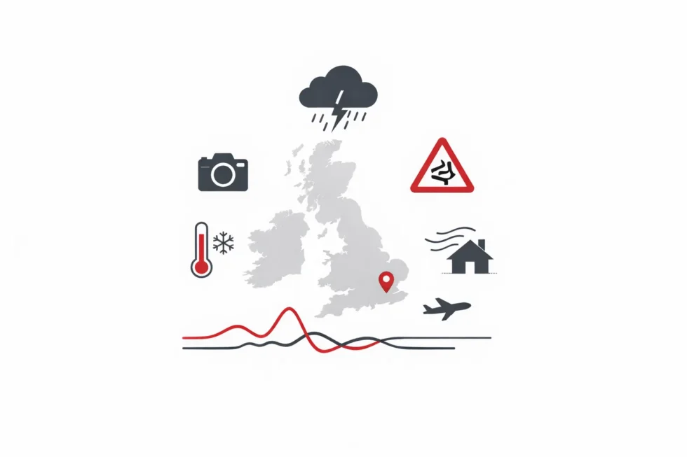
As of Monday, 26 January 2026, large parts of the UK are experiencing a renewed spell of heavy rain, strong winds and heightened flood risk, following the weekend impact of Storm Ingrid. Forecasts issued by the Met Office show 20–30mm of rain falling widely on Monday, with up to 50–80mm expected over higher ground in south-west England and Wales, while gusts of 40–50mph inland and stronger coastal winds are also possible.
Yellow weather warnings remain in force across western and southern England, Wales and parts of Northern Ireland, with forecasters warning of localised flooding, transport disruption and pressure on already saturated river catchments. In London, rainfall totals are forecast to be lower — typically 10–20mm — but officials caution that steady rain on saturated ground may still cause travel delays, particularly during the evening commute.
According to The WP Times, citing Met Office guidance, conditions are expected to begin easing from Wednesday, 28 January, as higher pressure builds from the west, bringing lighter rainfall and gradually easing winds across much of Britain, although flood warnings may remain in place even after rain clears.

Situation overview after Storm Ingrid
Storm Ingrid, named by the Portuguese meteorological service, brought gusts of 45–50mph, persistent rain and large coastal waves to parts of the UK late last week. Coastal communities in south-west England, Yorkshire and the north-east reported structural damage, including erosion to sea defences and historic piers.
Although the storm itself has now cleared, its aftermath is a key factor shaping Monday’s forecast. River catchments in several regions remain under strain, groundwater levels are high, and coastal infrastructure has been weakened in places. Meteorologists stress that the new weather system arriving on Monday does not need to be as intense as Storm Ingrid to cause further problems, given these background conditions.
Flood alerts and warnings: what they mean
As the new week begins, nearly 150 flood alerts and flood warnings are active across the UK. Flood alerts signal that flooding is possible and that residents should remain vigilant, while flood warnings indicate that flooding is expected and immediate action may be required. In England, the Environment Agency reports that river, surface-water and coastal flood risks are highest in the south-west, parts of southern England and low-lying areas of Wales. In Scotland and Northern Ireland, regional agencies have also issued targeted alerts, mainly focused on river catchments and areas of prolonged rainfall.
Authorities warn that impacts may include:
- flooding of homes and businesses in vulnerable locations
- disruption to road and rail services
- temporary isolation of rural communities
- delays to utilities and, in isolated cases, short-term power outages
Monday’s weather: regional breakdown
As of Monday, 26 January 2026, the UK enters another period of unsettled weather, with heavy rain and strong winds forecast to affect large parts of the country. According to the editorial desk, citing the Met Office, the new weather system is expected to move eastwards during the day, bringing an increased risk of flooding and transport disruption in several regions. Forecasters say the impact will vary significantly by area, depending on rainfall totals, wind strength and local ground conditions following recent storms.

Western and south-west England
Rain is expected to arrive early in the day and become heavier through the afternoon. Forecast models suggest 20–30mm of rain falling widely, with 50–80mm possible over higher ground, particularly on Dartmoor and Exmoor. Strong easterly or south-easterly winds may exacerbate conditions along exposed coasts.
Wales
Southern and mid-Wales are likely to experience prolonged rainfall, with localised downpours over upland areas such as the Brecon Beacons. Transport disruption is possible, especially on rural roads prone to surface water flooding.
Northern Ireland
A separate yellow rain warning applies to several counties, where 20–40mm of rainfall could fall in a relatively short period. Rivers may respond quickly, increasing the risk of local flooding.
Northern England and Scotland
Rain will be more intermittent, but eastern Scotland and parts of north-east England may see wintry precipitation over hills. Winds are generally lighter than during the weekend, though still blustery in coastal areas.
London: what commuters should expect
For London, Monday is forecast to be largely cloudy, with rain developing later in the day and into the evening. Rainfall totals are expected to be lower than in the west, typically 10–20mm, but forecasters caution that even moderate rain may cause problems where drainage systems are under pressure.
Key points for the capital include:
- wet conditions during the evening commute
- possible delays on road networks and some rail services
- moderate to fresh winds, increasing overnight
City authorities advise commuters to allow extra travel time and to monitor updates from transport operators.
Winds and coastal impacts
While heavy rain is the primary concern on Monday, strong winds are also forecast to accompany the system. Inland gusts of 40–50mph are possible in exposed areas, with stronger gusts along parts of the coast. Marine forecasts warn of rough seas, particularly in the Channel and Irish Sea, where residual swell from the weekend storm remains.
Coastal erosion remains a concern in locations already damaged by Storm Ingrid. Engineers are continuing inspections of sea walls, piers and railway defences, particularly in Devon and along parts of the north-east coast.
Tuesday outlook: rain and wind warnings extend
The unsettled pattern is expected to continue into Tuesday, with rain spreading further across southern and eastern England, including London. Some warnings are forecast to transition into combined rain and wind alerts, as winds strengthen alongside persistent rainfall.
Rainfall totals on Tuesday could reach 30–40mm locally, with up to 50mm over hills in the south and west. Coastal gusts of 60–70mph remain possible in the most exposed areas.
Advice from authorities
Emergency planners and weather officials advise residents in affected areas to:
- check local flood warnings regularly
- avoid driving through floodwater
- secure loose outdoor items ahead of strong winds
- plan journeys carefully and allow extra time
Local councils and transport operators are on standby, with contingency plans in place should conditions deteriorate further.
When will conditions improve
Forecast confidence decreases beyond Tuesday, 27 January 2026, but current guidance from the Met Office suggests a gradual easing of rainfall and wind from Wednesday, 28 January, as higher pressure begins to build from the west.
If this pattern develops as expected, the most persistent rain affecting western Britain and Wales should become lighter and more intermittent by mid-week, while wind speeds are forecast to ease across inland areas. Southern and eastern England, including London, are likely to see fewer prolonged downpours after Wednesday, although scattered showers may persist. Forecasters caution, however, that river levels may continue to rise even after rainfall eases, particularly in catchments already saturated by Storm Ingrid and subsequent rain. As a result, flood alerts and warnings may remain in force or be extended, even if weather conditions begin to improve.

For now, Monday, 26 January, represents another high-impact weather day for parts of the UK, especially in south-west England, Wales and exposed coastal areas. London is expected to experience a wet but comparatively less severe spell, with lower rainfall totals and reduced wind strength than in western regions, but with ongoing disruption risks linked to drainage pressure and transport delays.
Read about the life of Westminster and Pimlico district, London and the world. 24/7 news with fresh and useful updates on culture, business, technology and city life: Why did UK health insurance claims hit a record £4bn in 2024 as workplace cover surged