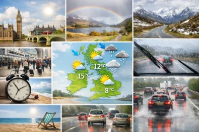
Today’s weather in London and the UK (16 April 2026) reflects a classic British spring transition, with conditions brighter and milder than the previous day but still unsettled in structure. In London, temperatures start around 9–10°C under broken cloud, rising to approximately 16–17°C by mid-afternoon as clearer spells develop between passing systems. Rain is not organised into a continuous фронт; instead, showers form in pulses from late morning into the afternoon, moving through quickly and allowing for usable dry intervals. This makes weather in London today less about sustained rain and more about timing, as short-cycle shifts between cloud, sun and showers define the day.
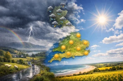
Across the wider country, UK weather today follows the same mobile Atlantic pattern, with a bright, breezy mix of sunny spells and scattered showers rather than prolonged rainfall. Southern and eastern regions, including London, see longer dry windows and slightly warmer conditions, while northern and western areas remain more exposed to frequent showers and stronger winds. The WP Times reports that Met Office outlook highlights variability rather than severity, with no extreme weather expected but constant movement between conditions. The practical advantage lies in visibility and extended daylight, which support travel and outdoor activity despite the instability, provided plans remain flexible.
UK weather today: regional split and what actually changes
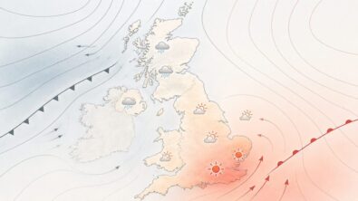
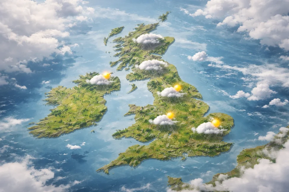
Across the UK, today’s weather is shaped by exposure to a mobile Atlantic airflow rather than a fixed front, creating a clear but fluid regional contrast. In the south and east, including London, the South East and East Anglia, conditions are comparatively more settled. There are longer dry intervals, more frequent sunny spells and slightly warmer air, with temperatures reaching 15–17°C. Winds are lighter here, which allows brief sunshine to translate more effectively into warmth between passing showers.
Across the Midlands and northern England, the pattern becomes more mixed and less predictable. Showers are more frequent and can arrive in quick succession, breaking up otherwise bright periods. Temperatures range between 12–15°C, with a steady moderate breeze maintaining a cooler feel, particularly during and after rainfall.
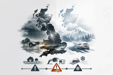
Further north and west — Scotland, Wales and Northern Ireland — the Atlantic influence is strongest. These areas see the most frequent and, at times, heavier showers, with isolated bursts capable of producing brief downpours. Winds are stronger, especially in exposed and coastal locations, and temperatures remain lower at 9–13°C, often feeling cooler due to the combined effect of wind and damp air. This is not a storm-driven setup but a mobile spring pattern. Showers move through quickly rather than remaining fixed, meaning conditions can shift from wet to dry within 30 to 60 minutes. The practical effect is variability rather than disruption — short interruptions, followed by equally quick improvements.
Wind, air structure and why today feels cooler than it looks
The airflow remains west to north-westerly, carrying moist maritime air across Britain. Compared to the previous day, there is slightly more atmospheric mixing, which allows brighter spells to develop — but also keeps the weather unstable.
- Wind speeds:
- London & South: 15–25 km/h
- North & coasts: 25–40 km/h with higher gusts
- Effect on the ground:
- Temperatures feel 1–3°C lower than actual
- Wind enhances the chill after showers
- Open areas and riversides (like the Thames) amplify gusts
This combination explains why 16°C can still feel cool, especially during cloud cover or after rain.
Temperature, wind and rain overview across Britain
| Region | Temp (day) | Wind (avg/gusts) | Rain pattern |
|---|---|---|---|
| London & South East | 15–17°C | 15–25 / 30 km/h | Light, brief showers |
| Midlands | 13–15°C | 20–30 / 40 km/h | Intermittent showers |
| North England | 11–14°C | 25–35 / 45 km/h | More frequent showers |
| Scotland | 9–12°C | 30–40 / 55 km/h | Showers, some heavier |
| Wales | 11–13°C | 25–35 / 50 km/h | Repeated rain bands |
| Northern Ireland | 11–13°C | 25–35 / 50 km/h | Showers, improving later |
Sunrise, sunset and daylight advantage
Daylight continues to extend across the UK, and this is one of the most important practical advantages on an otherwise unsettled day. Earlier sunrises and later sunsets create a wider window for activity, meaning that even when showers interrupt conditions, there is sufficient time for recovery into brighter, drier periods.
This longer daylight span also changes how the weather is experienced. Cloud breaks are more effective, brief sunshine has more impact on surface warming, and late-day improvement becomes more likely as the atmosphere stabilises slightly towards evening. In practical terms, it increases flexibility: disrupted plans earlier in the day can often be shifted rather than cancelled, particularly in southern areas such as London where dry intervals are longer.
| Location | Sunrise | Sunset |
|---|---|---|
| London | 06:05 | 19:57 |
| Manchester | 06:09 | 20:09 |
| Edinburgh | 06:07 | 20:19 |
| Cardiff | 06:17 | 20:09 |
| Belfast | 06:21 | 20:27 |
Longer daylight means even after showers pass, there is enough time for recovery into brighter conditions — especially in southern Britain.
Geomagnetic conditions and practical outlook (16 April)
Geomagnetic activity remains low, within the G0–G1 range, with no indication of an active storm. Conditions are stable from a space-weather perspective, though minor fluctuations persist in the background. These do not affect infrastructure, aviation or weather systems, but can subtly influence how the day feels — particularly in combination with shifting atmospheric conditions.
In practical terms, any impact is indirect. Slight variations in concentration, alertness or fatigue are possible, especially as weather conditions change through the day. When combined with intermittent showers, wind and fluctuating light levels, this can create a mild sense of reduced energy or focus, even without any measurable external disruption. This is not a day to cancel plans — it is a day to manage timing with precision. London, in particular, benefits from longer dry intervals and a more responsive pattern.
- Best time outdoors: early morning and later afternoon
- Light waterproof recommended rather than heavy rain protection
- Expect short interruptions, not prolonged disruption
- Allow extra travel time around midday when showers are most likely
- Use dry intervals actively — conditions recover quickly after rain
Overall, UK weather today (16 April 2026) is more flexible and operationally manageable than the previous day, but still shaped by Atlantic-driven variability. London sits in the more favourable zone, with mild temperatures and usable gaps between showers, while northern and western regions remain more exposed to repeated rain and stronger wind. There are no extremes — no storm system, no heatwave and no prolonged rainfall — but there is continuous movement between weather states. The day rewards awareness over assumption: those who adjust in real time will find it far more workable than the forecast alone might suggest.
Read about the life of Westminster and Pimlico district, London and the world. 24/7 news with fresh and useful updates on culture, business, technology and city life: Horoscope today London 16 April 2026: Sagittarius Moon tests discipline, money and health