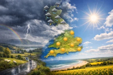
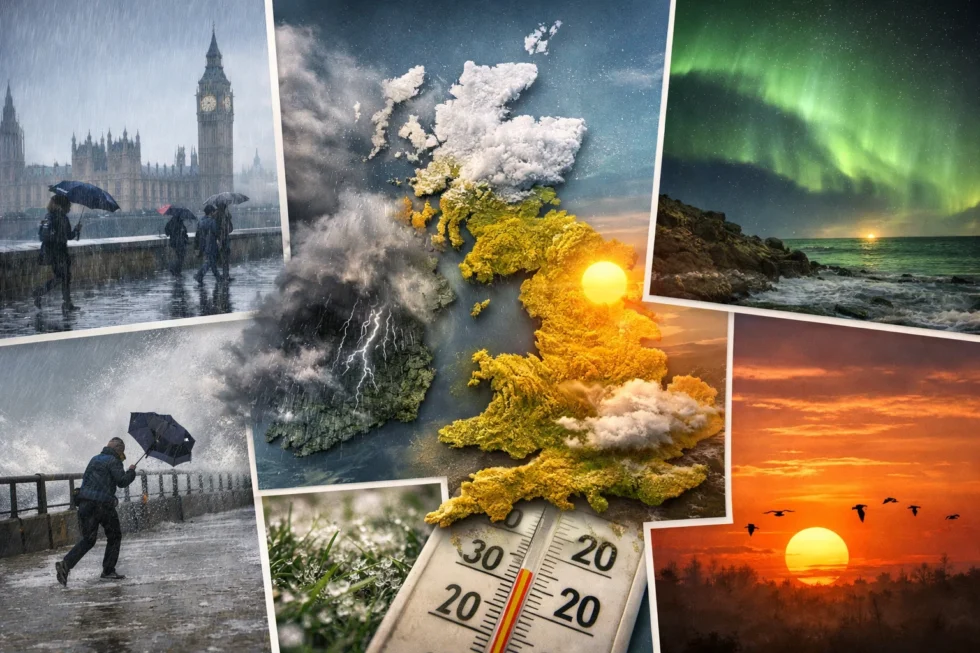
Weather London 15 April 2026 begins under a dominant west to south-westerly airflow, drawing moist Atlantic air across Britain and setting a distinctly changeable spring pattern from the early hours. Conditions at first light are relatively calm but damp, with residual overnight moisture leaving road surfaces slick and visibility locally reduced, particularly across southern England and parts of Wales. Through the morning, weak frontal systems track steadily eastwards, fragmenting cloud cover and introducing scattered, fast-moving showers rather than sustained rainfall. This produces a responsive and unstable setup typical of mid-April, where even minor shifts in pressure and wind direction can quickly alter local conditions, as The WP Times reports, citing Met Office.
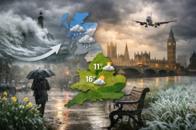
Weather in Britain tomorrow remains mild but clearly suppressed by persistent cloud and intermittent rain, limiting effective solar heating across most regions. London and the South East are expected to reach 12–15°C, while Scotland and northern England remain closer to 9–12°C under thicker cloud layers. There is no indication of severe weather; however, frequent transitions between dry intervals and showers reduce predictability for travel, commuting and outdoor planning. Winds remain moderate overall, with occasional stronger gusts across exposed coasts and higher ground. The defining feature is variability rather than intensity — a pattern where conditions shift rapidly within short timeframes, requiring continuous adjustment throughout the day, The WP Times reports.
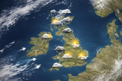
UK rain pattern 15 April: London showers and wind flow
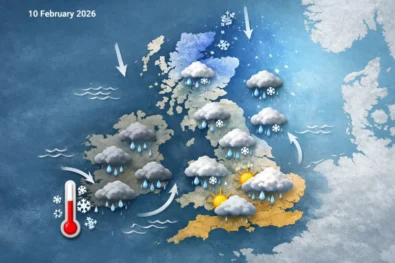
Rainfall across the UK develops in a fragmented, wave-like pattern rather than as a single organised system. In weather London, the day is likely to begin largely dry but overcast, with isolated showers developing from late morning into the early afternoon. These showers are typically brief but can be locally intense, producing short-lived surface water and reduced visibility. By late afternoon, drier intervals may emerge, though conditions remain unsettled overall.
Further west, including Wales, north-west England and western Scotland, exposure to incoming Atlantic fronts is more direct. Rain here is more frequent and longer-lasting, particularly through the middle part of the day, with repeated bands moving through rather than isolated bursts. In contrast, eastern England, including East Anglia, sits in a more sheltered position, where rainfall arrives later and in a weaker form, often as light showers or drizzle rather than organised bands.
Key rainfall pattern:
- Showers dominate rather than prolonged rain
- Western Britain sees heavier and more persistent precipitation
- Eastern regions remain comparatively drier
- Conditions shift quickly between wet and dry phases
The broader instability is driven by sustained Atlantic influence, with low-pressure systems moving eastwards and maintaining a continuous inflow of moist maritime air. This prevents high pressure from establishing, keeping the atmosphere active and conditions changeable throughout the day.
Winds remain predominantly west to south-west, consistently transporting humid air and reinforcing widespread cloud cover. Speeds are generally moderate but increase across exposed coasts and higher ground, particularly in Scotland and along western fringes. In London, winds are less pronounced but still noticeable in open areas and along the Thames, where urban layouts can locally accelerate airflow. This airflow maintains extensive cloud cover, limiting solar heating and preventing sustained temperature rises. At the same time, it drives rain bands quickly across the country, contributing to fluctuating conditions. As a result, temperatures may feel lower than actual readings, particularly where wind and damp air combine to create a cooler overall impression.
UK temperature, wind and rain overview (15 April 2026)
| Region | Morning | Afternoon | Wind (avg/gusts) | Rain likelihood |
|---|---|---|---|---|
| London & South East | 7–9°C | 13–15°C | 15–25 km/h / 35 | Medium (showers) |
| Midlands | 6–8°C | 12–14°C | 15–30 km/h / 40 | Medium |
| North England | 5–7°C | 10–12°C | 20–35 km/h / 45 | Medium-high |
| Scotland | 4–6°C | 9–11°C | 25–40 km/h / 55 | High (west) |
| Wales | 6–8°C | 11–13°C | 20–35 km/h / 50 | High |
| Northern Ireland | 6–8°C | 11–13°C | 20–35 km/h / 50 | High |
Temperatures remain within seasonal norms but are slightly suppressed by cloud and rainfall. Even where brighter intervals appear, they are short-lived and insufficient to drive sustained warming. As a result, perceived temperatures often feel lower than measured values, particularly in windy or damp conditions.
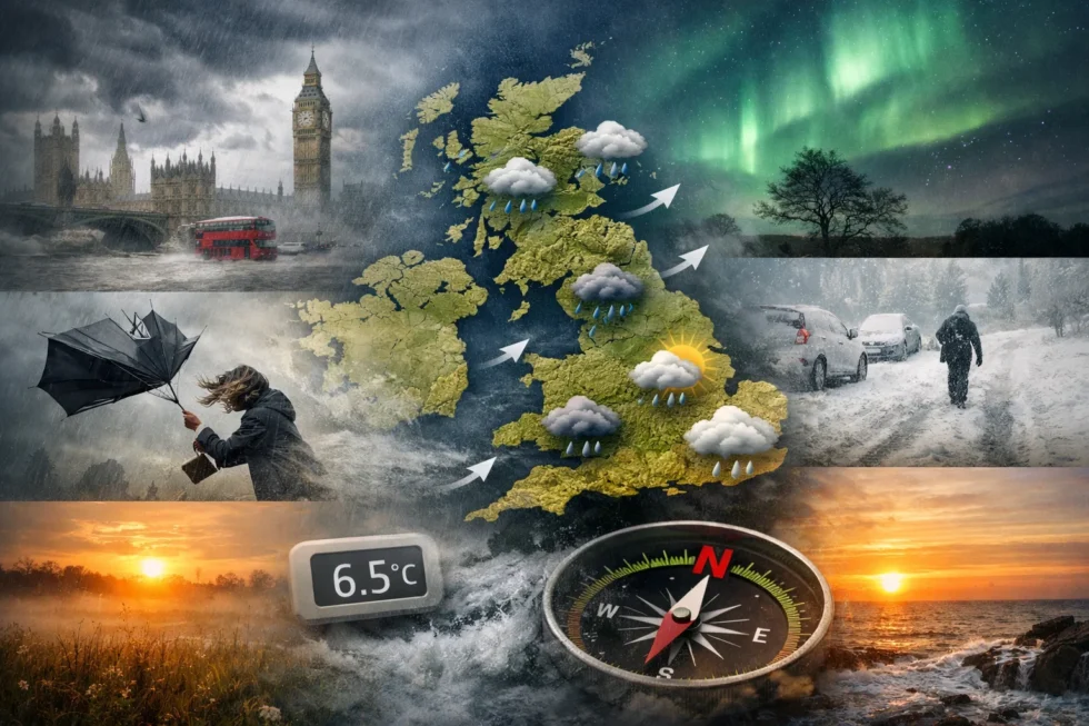
Daylight and geomagnetic conditions across Britain
Daylight continues to extend across the UK, supporting longer activity windows despite unsettled weather conditions.
| Location | Sunrise | Sunset | Geomagnetic activity |
|---|---|---|---|
| London | 06:08 | 19:54 | G0–G1 (quiet) |
| Manchester | 06:10 | 20:02 | G0–G1 |
| Edinburgh | 06:07 | 20:19 | G0–G1 |
| Cardiff | 06:17 | 20:09 | G0–G1 |
| Belfast | 06:21 | 20:27 | G0–G1 |
Geomagnetic conditions remain weak, with no storm activity expected. However, minor fluctuations may subtly influence concentration, reaction time and perceived fatigue, particularly during periods of rapid weather change.
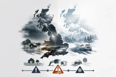
From a forecasting perspective, 15 April presents low risk but high variability, which is where most practical disruption occurs. Damp surfaces during the morning commute increase stopping distances, particularly on untreated secondary roads, while intermittent showers create rapidly changing visibility conditions. Short weather cycles — shifting from dry to wet within an hour — make fixed outdoor plans unreliable, placing greater emphasis on timing and real-time observation rather than static forecasts.
In practical terms, the day requires adjustment rather than avoidance. Travel remains fully operational, but efficiency may be reduced in areas experiencing repeated showers, especially across western Britain. Pedestrians and cyclists are more directly exposed to discomfort, as brief but frequent rainfall combines with moderate wind to lower perceived temperatures. Urban environments, including London, amplify these effects through reflective surfaces, local wind channels and fluctuating light conditions under broken cloud.
Key operational impacts:
- Increased braking distances on damp or intermittently wet roads
- Visibility shifting quickly with passing showers and cloud density
- Outdoor schedules disrupted by short, unpredictable weather windows
- Requirement for layered clothing with waterproof outer protection
- Localised travel slowdowns in regions with repeated rainfall bands
The underlying reason for this instability lies in the seasonal transition. April represents a boundary phase between weakening winter pressure systems and strengthening solar input. While daytime heating is increasing, it is not yet dominant enough to stabilise the atmosphere. At the same time, Atlantic low-pressure systems remain active and mobile, driving frequent frontal passages across the UK.
This interaction produces a highly responsive atmospheric structure. Small shifts in airflow or pressure can trigger rapid changes in cloud cover, precipitation and temperature within short timeframes. The result is the well-known “April variability”, where multiple weather states can occur within a single day without any extreme events.
Looking ahead through the day, the outlook remains consistent in structure. There is no indication of severe weather, no organised storm system and no prolonged rainfall event. Instead, conditions are defined by continuous movement — cloud thickening and thinning, showers forming and clearing, and brief brighter intervals breaking through before the next band arrives.
The most effective response is practical and adaptive:
- Keep waterproof layers readily available rather than optional
- Allow additional time for travel, particularly in the morning and midday periods
- Use short dry intervals rather than relying on long stable windows
- Adjust outdoor activity dynamically as conditions evolve
Overall, this is a typical British mid-spring day — not hazardous, but operationally demanding. Mild temperatures are offset by cloud, wind and moisture, and the constant variability requires awareness, flexibility and preparation rather than concern.
Read about the life of Westminster and Pimlico district, London and the world. 24/7 news with fresh and useful updates on culture, business, technology and city life: EasyJet passengers face EU border delays as new Entry Exit System causes long