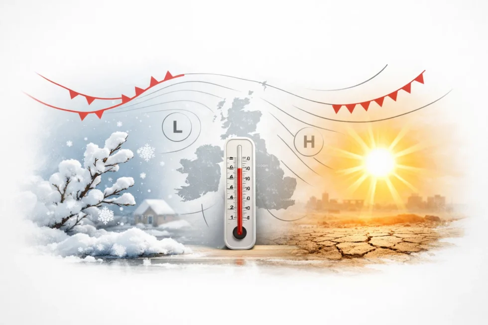
“Arctic snow blizzards? Mini heatwaves?” — these sharply contrasting headlines sit at the centre of the latest Met Office weather headline review, as forecasters assess whether viral claims around UK weather forecast April snow are supported by actual data, concluding that most dramatically framed reports significantly overstate both the scale and probability of extreme conditions across the country, The WP Times reports. The official analysis shows that while model outputs do include a range of possible scenarios, the dominant signal points to a far more typical mid-April pattern, with variable conditions in the short term and a gradual shift towards more settled weather, rather than any nationwide snow event or abrupt Arctic intrusion.
The review, published by the Met Office on 16 April 2026, directly compares widely circulated headlines with operational forecast guidance, highlighting a consistent gap between probabilistic modelling and definitive language used in media coverage. Forecasters stress that although April remains a transitional and often volatile month in the UK climate system, current outputs do not support widespread snowfall, prolonged sub-zero conditions or heatwave thresholds. Instead, the prevailing regime remains one of weakening Atlantic influence giving way to building high pressure, with temperatures fluctuating close to seasonal averages.
UK weather forecast April snow: spatial limits and probability signals

Forecast data through the end of the week indicates a predominantly showery regime, driven by convective processes rather than organised frontal snowfall. The most active conditions are expected across northern Scotland and exposed western coasts, where instability is enhanced by local topography and onshore flow.
Elsewhere, particularly across eastern England, longer dry intervals are likely, with sunshine breaking through between scattered showers. Crucially, thermal profiles across the UK remain above the threshold required for widespread snow at low levels. Operational assessment of snow risk:
- Any snow confined to high ground in northern Scotland
- No sustained cold air mass across UK lowlands
- Surface temperatures largely above freezing
- Precipitation dominated by rain or mixed showers
In forecasting terms, this represents a high-confidence rejection of widespread April snow scenarios, despite their prominence in headline narratives.
Arctic blast narrative vs synoptic reality
An Arctic blast, in meteorological terms, requires a sustained northerly airflow drawing polar air deep into the UK. Current synoptic patterns do not support this configuration within the reliable forecast window. Instead, the atmospheric setup shows:
- Continued influence of relatively mild Atlantic air
- Intermittent ridging from southern sectors
- A gradual transition towards anticyclonic conditions
While clearer skies under high pressure may lead to radiative cooling at night and isolated frost, this is structurally different from a large-scale Arctic outbreak.
| Indicator | Arctic blast expectation | Current forecast signal |
|---|---|---|
| Air mass origin | Polar continental/maritime | Modified Atlantic |
| Daytime temperatures | Below average, sub-zero possible | Near seasonal norms |
| Duration | Multi-day cold spell | Short-lived cooler nights |
| Coverage | Widespread across UK | Localised and limited |
Longer-range guidance does include a minority scenario in which a northerly flow develops towards next weekend. However, forecasters emphasise that this remains one of several possible outcomes, with comparable probability assigned to milder, stable spring conditions.
Mini heatwave claims and temperature thresholds
Reports of an approaching mini-heatwave are largely based on short-lived spikes in temperature under favourable sunshine conditions. While some parts of eastern England may see temperatures rise into the mid to high teens Celsius, this remains within the upper range of typical April variability. By definition, a UK heatwave requires sustained temperatures above regional thresholds over multiple consecutive days — a condition not currently supported by forecast data. Temperature outlook by region:
- Eastern England: highest likelihood of above-average daytime warmth
- Northern and western areas: moderated by cloud and Atlantic flow
- Overnight conditions: cooler where skies clear under high pressure
The key factor is duration: brief warm intervals do not meet heatwave criteria, and current projections show insufficient persistence.
UK weather maps forecast April snow and freezing temperatures: trend analysis
Forecast charts over the next 7 to 10 days point to a structured and gradual evolution in weather patterns rather than abrupt extremes. Low pressure continues to influence conditions into Friday, bringing bands of rain moving eastwards, followed by clearer intervals.
From the weekend onwards, model agreement strengthens around the development of high pressure across much of the UK. Projected sequence:
- Late week: rain bands and showers, especially in western and northern regions
- Transition phase: brighter spells and reduced precipitation
- Early next week: increasing dominance of high pressure and drier conditions
This trend reduces the likelihood of both prolonged rainfall and cold-air intrusions, reinforcing a stabilising spring pattern.
Official Met Office position and forecast confidence
The Met Office cautions against treating individual model runs or extreme scenarios as definitive forecasts. The review highlights that many headline claims are derived from low-probability outputs within ensemble systems rather than the central forecast pathway. According to the agency:
- Forecast confidence drops significantly beyond 5–7 days
- Extreme cold or heat signals lack consistent support
- Near-average conditions dominate the most likely scenario
The guidance underscores a core principle of modern forecasting: outcomes should be interpreted as probability ranges rather than fixed predictions.
What the pattern means for the UK in practical terms
For infrastructure, transport networks and day-to-day planning, the current forecast points to low disruption risk, with no operational signals that would typically trigger weather-related contingency measures. The pattern remains consistent with a transitional April setup, where variability is present but not severe enough to impact national systems.
Across most of the UK, conditions are expected to remain manageable, with short-lived weather events rather than sustained hazards. Rainfall is likely to occur in bands or showers rather than prolonged systems, while temperature fluctuations stay within a range that does not materially affect transport, energy demand or public safety. Operational implications:
- No evidence of widespread snow disruption across lowland areas
- Frost risk confined to isolated clear nights under high pressure
- Intermittent rain, but no signal for prolonged or nationwide washout
- Increasing probability of dry, settled conditions developing next week
From a planning perspective, this supports standard seasonal operations, rather than escalation protocols associated with severe cold, snow or extreme heat. The absence of sustained extremes allows transport, aviation and local services to function without significant weather-related constraints.
Broader context: why headlines diverge from forecasts
The divergence between headline narratives and official forecasts reflects a structural gap between probabilistic modelling and media interpretation. Modern weather forecasting relies on ensemble systems that generate a spectrum of possible outcomes, including low-probability extremes that can appear highly dramatic in isolation.
These outlier scenarios, while technically valid within model spreads, do not represent the most likely forecast pathway. However, they are often amplified in public-facing narratives due to their impact value. Common distortions in headline coverage:
- Emphasis on extreme or low-probability model outputs
- Compression of complex forecast uncertainty into simplified claims
- Use of definitive language where conditional probability applies
By contrast, the Met Office bases its guidance on consensus modelling, trend verification and confidence weighting, prioritising the most probable scenario rather than the most attention-grabbing. This approach results in a more conservative but operationally reliable forecast, particularly in periods of seasonal transition where multiple outcomes remain technically possible but not equally likely.
Read about the life of Westminster and Pimlico district, London and the world. 24/7 news with fresh and useful updates on culture, business, technology and city life: What Labour pension investment plan means as MPs approve powers over UK pension investments