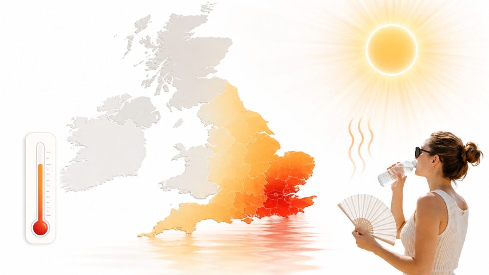
UK heatwave weather forecast Met Office updates show Britain is entering a critical early-summer heat period, with a brief dip in temperatures on Saturday, 20 June 2026, before hot and humid air builds again across southern and eastern England, south-east Wales and parts of the Midlands. The Met Office has issued an amber extreme heat warning for Monday and Tuesday, warning that the developing hot spell is likely to affect people, transport, power systems and daily routines, while BBC Weather has reported that Saturday offers only short relief before temperatures climb again, The WP Times reports.
The latest Met Office UK heat warning is not simply a summer forecast about sunshine. It is a public-safety warning because daytime temperatures are expected to reach the low to mid-30s Celsius in places, with some urban areas likely to stay above 20C overnight, creating so-called tropical nights that raise the health risk when homes, transport and workplaces do not cool down properly. The warning area includes large parts of London and south-east England, southern England, south-west England, Wales and the West Midlands, and the Met Office says the warning was updated on Saturday at 11:57 BST with the area expanded across east Wales and much of the Midlands.
UK heatwave weather forecast Met Office: what changes from Saturday to Tuesday
Saturday is the hinge day in the forecast. Fresher air from the west is expected to hold temperatures lower than Friday in many areas, but the relief is limited, especially in the south-east, where highs can still reach the upper 20s. BBC Weather described Saturday as a short break after Friday’s heat, with the hot pattern returning on Sunday and intensifying on Monday and Tuesday. By Sunday, the heat expands again. Met Office guidance published before the weekend said temperatures could reach 32C in the south and south-east of England on Sunday, before rising further on Monday. The same forecast warned that conditions would remain humid, with cloud and brighter spells rather than guaranteed clear blue skies everywhere.
The most serious period is Monday, 22 June, and Tuesday, 23 June. The amber extreme heat warning says very high temperatures, accompanied by high humidity, are expected on Monday and especially Tuesday, with low to mid-30s Celsius possible in places and mid-30s more widely on Tuesday. Overnight temperatures may stay above 20C in some urban areas, which means the risk is not only the afternoon peak but the lack of overnight recovery.
| Period | Main weather signal | Areas most exposed | Main risk |
|---|---|---|---|
| Saturday, 20 June | Temporary cooling, still warm in south-east | South-east England | Short relief, not a reset |
| Sunday, 21 June | Heat rebuilds, up to low 30s in places | South and south-east England | Heatwave criteria likely in some areas |
| Monday, 22 June | Amber warning starts, hot and humid | Southern/eastern England, Wales, Midlands | Health, travel and infrastructure impacts |
| Tuesday, 23 June | Likely peak of the spell | Urban and inland areas | Tropical nights, heat exhaustion, disruption |
Met Office UK heat warning: why the amber alert matters
The Met Office says a developing hot spell through Monday and Tuesday is likely to lead to widespread impacts on people and infrastructure. In practical terms, this means the warning is aimed not only at vulnerable people, but also at commuters, schools, outdoor workers, rail passengers, drivers, care providers and anyone using coastal areas, lakes or rivers during the heat.
The amber category means there is an increased likelihood of severe-weather impacts that can disrupt plans. The Met Office warning specifically lists possible delays to road, rail and air travel, welfare problems for people caught in prolonged delays, changes to working routines, and the risk that heat-sensitive systems or equipment could fail, causing power cuts or loss of services in some homes and businesses.
This is why the forecast is different from a normal warm weekend. A sunny 25C day may be uncomfortable for some, but a humid 34C or 35C day followed by a night above 20C becomes a different public-health problem. Heat stress builds when the body cannot cool properly, and the risk rises further for older people, people with health conditions, babies, people living alone and those in poorly ventilated housing. The UK Health Security Agency has also issued heat-health alerts, separate from the Met Office weather warning. Met Office reporting said amber heat-health alerts were in place for a swathe of southern and eastern England, with yellow alerts for the Midlands, meaning temperatures could affect health and wellbeing.
BBC Weather and Met Office forecast: where the heat is likely to be strongest
The strongest heat is expected in southern and eastern England, with London, the South East, East Anglia and inland southern counties particularly exposed. The Met Office warning area also includes south-east Wales and, after the Saturday update, parts of east Wales and much of the Midlands.
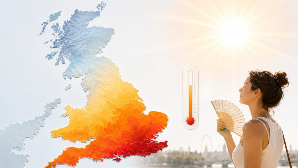
The north-west, Scotland and Northern Ireland are less likely to see the same extreme temperatures, because lower pressure closer to the north-west keeps conditions more changeable. Met Office chief forecaster Steve Ramsdale said a marked north-south split would develop, with warm and humid air building across southern and eastern areas while the north-west remains more unsettled. That split matters for readers checking the BBC Weather forecast or the Met Office forecast by postcode. A national headline saying “UK heatwave” does not mean every part of the country will see the same conditions. Coastal areas may be cooler, western and northern areas may see more cloud or rain, and inland urban areas may feel hotter because buildings, roads and transport networks retain heat. Deputy Chief Forecaster Gregory Wolverson said some areas in southern and south-eastern England were likely to meet heatwave criteria over the weekend. He also warned that the heat would expand and intensify at the start of the following week, with high overnight temperatures adding to the impact.
How a heatwave is officially declared in the UK
A UK heatwave is not declared only because one day is hot. The definition depends on daily maximum temperatures meeting or exceeding a regional threshold for three consecutive days. Those thresholds vary by area, which is why the south-east can meet heatwave criteria at a higher level than cooler regions.
This weekend is important because parts of south-east England had already recorded hot days before Saturday. If the threshold is met for a third consecutive day, an official heatwave can be declared in some locations, even if Saturday feels slightly cooler than Friday. The more widespread and serious heat then comes after that, when Sunday, Monday and Tuesday push temperatures higher again.
For readers, the official label matters less than the practical impact. A home that is too hot overnight, a train delay in direct sun, a long drive with an overheated engine or an elderly neighbour without cooling can become dangerous before people think of the word “heatwave”. The Met Office warning is therefore written around impacts, not just numbers.
Extreme heat warning: health, transport and water safety risks
The clearest advice from the Met Office is to reduce exposure during the hottest part of the day. The warning advises people to drink plenty of fluids, keep out of the sun, avoid exercise between 11am and 3pm, close curtains in rooms facing the sun, wear sunscreen and a wide-brimmed hat outside, and carry water when travelling.
Transport is another pressure point. Heat can affect roads, rails, airport operations and passenger welfare, especially when services are delayed. The Met Office advises checking road conditions, bus and train timetables, changing travel plans if needed, carrying water on public transport and getting off at the next stop for fresh air if feeling unwell.
Water safety is a major part of this heatwave story. The amber warning says more people are likely to visit coasts, lakes and rivers, increasing the risk of water-safety incidents. The Guardian reported that at least 15 people died after getting into difficulty in open water during a previous hot spell in May, while the RNLI warned that cold water shock can happen even when the air feels hot.
The safest message is practical: use lifeguarded beaches or supervised swimming areas, enter water gradually, avoid jumping or diving straight in, and float on the back if in difficulty. The Met Office warning also advises people not to ignore vulnerable neighbours, especially older people, those with underlying conditions and people who live alone.
UK heatwave forecast: temperatures across Britain
Britain will see a clear north-south split during the heatwave, with the highest temperatures in London, south-east England, eastern England, parts of the Midlands and south Wales. Saturday brings short relief after Friday’s heat, but temperatures rise again from Sunday before the Met Office amber extreme heat warning takes effect on Monday and Tuesday.
| Day | London & South East | South & South Wales | Midlands | North of England | Scotland & Northern Ireland |
|---|---|---|---|---|---|
| Saturday, 20 June | 27–28C | 24–27C | 22–26C | 18–24C | 16–22C |
| Sunday, 21 June | 29–31C | 27–31C | 25–29C | 21–24C | 18–22C |
| Monday, 22 June | 32–34C | 30–34C | 28–32C | 22–27C | 18–23C |
| Tuesday, 23 June | 33–35C | 31–34C | 29–33C | 23–28C | 18–24C |
The hottest period is expected on Monday and Tuesday, when parts of south-east England could reach 34C to 35C. London and the south-east are also likely to have very warm nights, with temperatures in some urban areas staying above 20C. Scotland, Northern Ireland and the far north-west should remain cooler, although still warm for many areas.
What people should do during the amber heat warning
People in the warning zone should treat Monday and Tuesday as disruption days, not normal summer days. Travel should be checked before departure, water should be carried, outdoor exercise should be moved away from the 11am–3pm window, and homes should be kept cooler by closing curtains on sun-facing rooms during the day.
The most important actions are simple:
- Drink water regularly and avoid waiting until thirst becomes strong.
- Keep babies, older people and pets away from direct sun and hot cars.
- Check on people who live alone or have medical conditions.
- Avoid intense sport or heavy outdoor work during the hottest hours.
- Use supervised swimming areas and treat open water as cold, even in hot weather.
- Watch for heat exhaustion signs: dizziness, nausea, fatigue, headache and heavy sweating.
- Call NHS 111 if worried about health, as the Met Office advises.
When will the UK heatwave end?
There is still uncertainty over how long the strongest heat will last after Tuesday. The Met Office warning says very high temperatures are likely to continue across parts of central and southern Britain further into next week, but the extent and magnitude of the heat remain uncertain.
That uncertainty is important because heat risk depends on duration. One hot day can be managed more easily than five or seven days of high daytime temperatures and warm nights. If parts of southern England remain near or above 30C for several days, pressure on homes, care settings, transport and energy systems can build.
The current pattern follows a notably hot late spring. Reuters reported that Britain recorded its hottest May day on 25 May 2026, with 34.8C at Kew Gardens, beating the previous May record of 32.8C from 1922 and 1944. That earlier event is relevant because it shows how quickly the UK moved from record May heat into another significant June hot spell.
The Met Office has also linked the broader rise in frequency and intensity of heat extremes to human-induced climate change. Its public climate guidance states that heatwaves are becoming more frequent and intense globally, while the UK’s south-east is particularly exposed to more common hot spells in a warming climate.
FAQ: UK heatwave weather forecast Met Office
Is there a Met Office amber heat warning in the UK?
Yes. The Met Office has issued an amber extreme heat warning for Monday, 22 June, and Tuesday, 23 June 2026, covering much of southern and eastern England, parts of Wales and the Midlands.
How hot could it get during the UK heatwave?
The Met Office says temperatures are likely to reach the low to mid-30s Celsius in places on Monday and into the mid-30s more widely on Tuesday. Some forecasts also mention a chance of 34C or higher in the hottest spots.
What does BBC Weather say about Saturday?
BBC Weather reported that Saturday could bring brief relief after Friday’s heat, but that temperatures are expected to rise again from Sunday before the more serious Monday-Tuesday heat period.
What is the biggest risk from this heatwave?
The main risks are heat exhaustion, dehydration, sunburn, pressure on vulnerable people, travel disruption, possible power or equipment failures, and water-safety incidents as more people visit beaches, rivers and lakes.
Will every part of the UK have a heatwave?
No. The strongest heat is expected in southern and eastern England, south-east Wales and parts of the Midlands. Northern and western areas are more likely to stay cooler and more changeable because of a north-south split in the weather pattern.
Read about the life of Westminster and Pimlico district, London and the world. 24/7 news with fresh and useful updates on culture, business, technology and city life: London Traffic, 15–20 June 2026: The Week's Closures, Hour by Hour and Day by Day