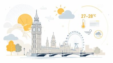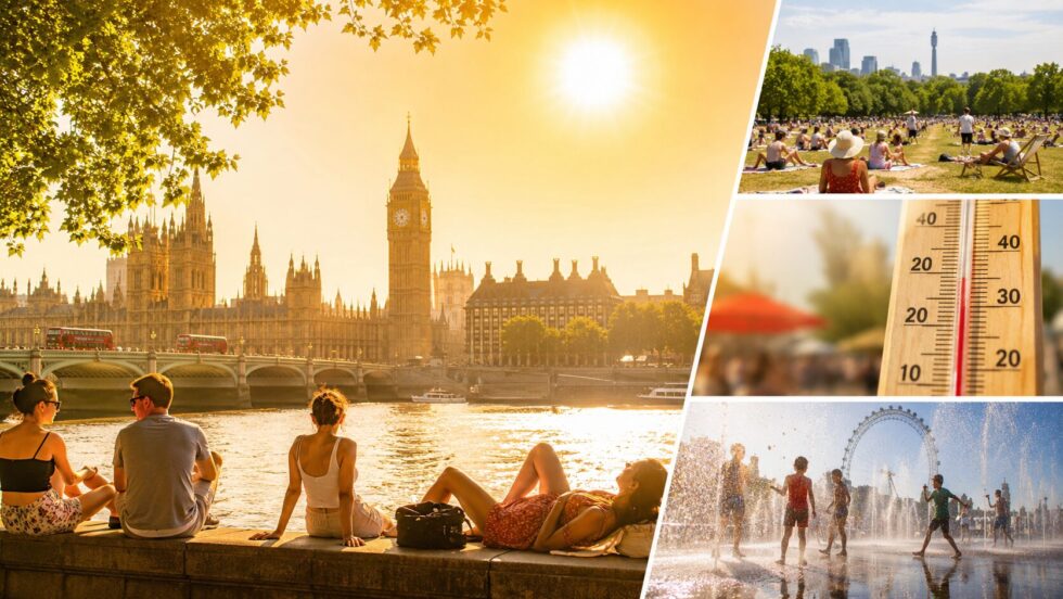
UK heatwave weather 34C peak is set to dominate the first full week of July as temperatures rise steadily across London and much of southern England, with the hottest conditions expected later in the week. According to The WP Times, citing the Met Office, forecasters expect a prolonged spell of hot weather rather than a brief surge, with temperatures in parts of south-east England potentially reaching 34C on Thursday or Friday while London moves above the 30C mark. At the same time, the UK Health Security Agency (UKHSA) has issued yellow Heat Health Alerts covering London and much of England until 11 July because of increased health risks for vulnerable people. The WP Times reports that although this episode is forecast to be less humid than the record-breaking June heatwave, its longer duration means heat stress could build steadily through the week.
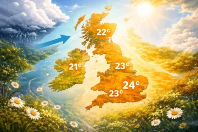
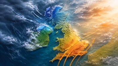
The weather pattern reflects a familiar north-south divide. High pressure centred close to southern Britain is expected to keep London, the South East and much of central England dry, sunny and increasingly hot, while northern England, Scotland and parts of Northern Ireland remain cooler with occasional cloud and rain. Meteorologists say the persistence of the high-pressure system is the key reason this heatwave is expected to last for around a week instead of only two or three days.
Why is another UK heatwave developing this week
The latest forecast shows warm air gradually strengthening over England throughout the week as high pressure expands from the Azores towards western Europe. Instead of a rapid burst of extreme temperatures, meteorologists expect heat to build day by day, allowing many areas to officially reach heatwave criteria.
The Met Office classifies a heatwave using regional temperature thresholds that must be reached or exceeded for at least three consecutive days. In London that threshold is comfortably within the range forecast for much of the coming week, making another official heatwave highly likely. Unlike the exceptional June event that produced record-breaking temperatures and rare Red Extreme Heat Warnings, this episode is forecast to be slightly less intense. Nevertheless, its duration means roads, transport, healthcare services and water supplies may again experience pressure, especially across southern England.
London weather forecast for the next seven days
Current projections indicate a gradual increase in temperatures before the hottest conditions arrive late in the week.
| Day | Forecast | High |
|---|---|---|
| Sunday | Sunny intervals, warm | 29C |
| Monday | Dry, sunny, hotter | 31C |
| Tuesday | Mostly sunny | 31–32C |
| Wednesday | Very warm, light winds | 32–33C |
| Thursday | Peak heat expected | 33–34C |
| Friday | Hot, dry, locally 34C | 33–34C |
| Saturday | Slightly cooler, still warm | 29–31C |
Forecast confidence remains highest for the overall trend of increasing temperatures rather than exact daily values. Small shifts in cloud cover or wind direction may change maximum temperatures by one or two degrees.
Which parts of England will be hottest during the UK heatwave?
The hottest conditions are expected to focus on London, South East England and the East of England, where temperatures could climb above 30C for several days and locally reach the 33C to 34C range later in the week. The strongest heat is likely to build inland, away from cooling sea breezes, with parts of Kent, Surrey, Sussex, Essex, Hertfordshire, Cambridgeshire and Hampshire among the areas most exposed to the peak.
London is again likely to be one of Britain’s hottest major urban areas because city surfaces hold heat through the day and release it slowly overnight. That means the capital may feel hotter for longer, especially on public transport, in flats with poor ventilation and in built-up boroughs with limited shade. For commuters, the most uncomfortable periods are likely to be the afternoon and early evening, when roads, platforms and buses can stay hot even after the daily maximum has passed.
The heat will not be evenly spread across the UK. Southern and eastern England are expected to sit under the warmest air, while many western coastal areas should be slightly cooler because of Atlantic influence and sea breezes. Northern England may still see warm spells, but Scotland and Northern Ireland are expected to avoid the highest temperatures, with more cloud and occasional rain keeping conditions closer to average.
The main hot zones are expected to be:
| Area | Heat risk this week | Why it matters |
|---|---|---|
| London | Very high | Urban heat, warm nights, heavy transport use |
| South East England | Very high | Best chance of 33C–34C peak |
| East of England | High | Inland counties likely to stay hot and dry |
| East Midlands | High in places | Temperatures may pass heatwave thresholds |
| South West England | Moderate to high | Inland areas hotter, coasts cooler |
| Kent, Surrey, Sussex, Essex, Hampshire | Very high | Exposed to peak heat later in the week |
UKHSA Yellow Heat Health Alerts explained
The UK Health Security Agency has activated Yellow Heat Health Alerts for London, South East England, South West England, the East of England, the East Midlands and the West Midlands, with the alert period running until 8pm on Saturday 11 July. The warning is not only about headline temperatures; it is about the pressure that several consecutive hot days can place on vulnerable people, hospitals, care homes and community health services.
A yellow alert means the weather is likely to have minor impacts across health and social care, with a higher risk for older people, babies, young children, people with long-term illnesses, those living alone and anyone in housing that overheats. The risk can rise sharply when daytime heat is followed by warm nights, because the body has less time to recover before the next hot day begins.
For London and southern England, the practical concern is cumulative heat. One hot afternoon is uncomfortable; five or six hot days in a row can become dangerous for people already under strain. Indoor temperatures can keep rising, dehydration can develop quickly, and transport or workplace disruption can make exposure harder to avoid.
What the yellow alert means in practical terms:
| Risk area | What could happen |
|---|---|
| Health | More heat exhaustion, dehydration and breathing problems |
| Care services | Extra pressure on GPs, carers, hospitals and care homes |
| Homes | Flats, top-floor rooms and poorly ventilated buildings may overheat |
| Transport | Hot buses, Tube platforms, trains and roads may feel more difficult |
| Water safety | More people may enter rivers or lakes, increasing cold-water shock and drowning risk |
The alert does not mean everyone is in immediate danger, but it is a clear signal to plan ahead: drink water regularly, avoid the strongest afternoon heat, check on elderly relatives or neighbours, keep curtains closed during peak sun, and take extra care with children, pets and anyone with existing health problems.
What the Met Office says about the 34C peak
Met Office meteorologists stress that this week's weather should not be confused with the extraordinary June heatwave that rewrote UK temperature records.
(Becky Mitchell, Met Office meteorologist): "The peak of the heat appears to be Thursday or Friday: 34C in the south-east. By comparison to the heatwave we saw in June, this heatwave won't be as hot and humid, but it will be a prolonged spell of hot weather which lasts around a week."
Forecasters also note that northern Britain will continue experiencing a completely different pattern, with more cloud and occasional rain, creating one of the clearest north-south weather contrasts seen this summer.
Why this heatwave is different from June
Although both events qualify as heatwaves, there are several important differences.
| June heatwave | July heatwave |
|---|---|
| Record-breaking temperatures | Lower peak temperatures |
| Exceptional humidity | Lower humidity |
| Red Extreme Heat Warnings | Yellow Heat Health Alerts |
| UK June record of 37.7C | Forecast peak around 34C |
| Significant overnight tropical heat | Slightly cooler nights expected |
The June event produced the UK's provisional highest June temperature of 37.7C in Norfolk and became one of the country's most exceptional early-summer heatwaves on record. This week's event is expected to be less severe but considerably longer lasting.
Why water restrictions are returning as the heatwave continues
The return of prolonged hot, dry weather is beginning to affect water supplies across parts of southern England, where rainfall has remained below average while demand has increased sharply during successive warm spells. Water companies say the combination of higher household consumption, dry soils and lower reservoir and river levels is placing additional pressure on the network as another week of high temperatures approaches.
Southern Water has confirmed that a Temporary Use Ban (hosepipe ban) will come into force from 12:01am on 10 July across Hampshire and the Isle of Wight. The measure is designed to reduce non-essential water use so that drinking water supplies remain resilient during the current period of exceptional demand. Although there is no nationwide restriction, officials say customers should begin using water carefully even in areas where no ban has yet been announced.
Under the restrictions, customers will not be permitted to use a hosepipe for a range of everyday activities, including:
| Activity | Permitted under the ban? |
|---|---|
| Watering gardens or lawns with a hose | No |
| Using sprinklers or irrigation systems | No |
| Filling paddling pools | No |
| Filling or topping up swimming pools | No |
| Filling hot tubs | No |
| Washing private cars with a hose | No |
| Cleaning patios, driveways or paths | No |
| Cleaning walls or windows with a hose | No |
The restrictions are intended to protect essential water supplies rather than respond to an immediate shortage. Water companies stress that reducing unnecessary outdoor water use now helps maintain pressure across the network if the hot weather persists into the second half of July. Officials will continue monitoring rainfall, reservoir levels and customer demand before deciding whether further measures are required elsewhere.
How climate trends are changing UK summers
Meteorologists emphasise that every heatwave is caused by specific weather patterns, but the increasing frequency, duration and intensity of these episodes is consistent with the UK's long-term warming climate. High-pressure systems have always brought hot weather to Britain, yet they are now more likely to produce temperatures that exceed historical averages and remain in place for longer periods. According to Met Office climate projections, southern England is expected to experience hotter summers, more frequent heatwaves and a greater number of very warm nights during the coming decades. Warm nights are increasingly important because they prevent homes and urban areas from cooling, raising health risks during prolonged hot spells. Climate scientists also expect periods of drought and heavy rainfall to become more pronounced, increasing pressure on water resources, transport infrastructure and public services.
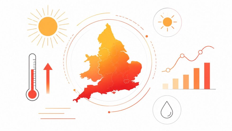
The summer of 2026 has already underlined that trend. England recorded its hottest June since records began, while the UK provisionally registered a new June temperature record of 37.7C during the exceptional heatwave at the end of last month. Although this week's forecast is not expected to challenge those extremes, it demonstrates how repeated heat events are becoming a defining feature of recent British summers rather than isolated occurrences.
Practical advice for London residents during the heatwave
For Londoners, the greatest challenge is likely to be the combination of several consecutive hot days and unusually warm nights, particularly in densely built-up neighbourhoods where concrete and brick retain heat long after sunset. Public health experts warn that prolonged exposure to high temperatures can gradually increase the risk of dehydration, heat exhaustion and heatstroke, especially among older adults, infants, pregnant women and people with heart or respiratory conditions.
Transport networks, workplaces and homes without air conditioning may become increasingly uncomfortable as the week progresses. The hottest part of each day is expected to fall between 12pm and 5pm, but indoor temperatures can remain elevated well into the evening. People planning outdoor activities, sporting events or long journeys are advised to prepare for significantly hotter conditions than the seasonal average.
How to stay safe during the London heatwave
- Drink water regularly throughout the day, even if you do not yet feel thirsty.
- Avoid strenuous exercise or heavy physical work during the hottest afternoon hours.
- Keep curtains, blinds and windows closed on the sunny side of your home during the day and ventilate rooms once outdoor temperatures fall.
- Wear lightweight, loose-fitting clothing and apply high-factor sunscreen if spending time outside.
- Check regularly on elderly relatives, neighbours and anyone living alone who may struggle in prolonged heat.
- Never leave children, older people or pets inside parked vehicles, even for a short period.
- Take extra care around rivers, lakes and reservoirs, as cold-water shock remains a serious risk despite hot air temperatures.
- Carry drinking water when travelling on the Tube, buses or trains, where temperatures can feel considerably higher than official readings.
Health officials say these precautions become increasingly important as hot weather continues for several days because the body has less opportunity to recover overnight when temperatures remain elevated.
Forecast confidence is strongest through the end of the working week, when temperatures across London and south-east England are expected to reach their highest levels, potentially approaching 34C in the hottest locations. Beyond Friday, confidence becomes lower, although current forecast models broadly suggest that temperatures may ease slightly during the weekend while remaining above the long-term July average. Most guidance indicates that southern England is likely to stay largely dry into the middle of July, with high pressure continuing to dominate. By contrast, northern England, Scotland and Northern Ireland are expected to remain closer to the Atlantic weather pattern, bringing more cloud, occasional outbreaks of rain and noticeably lower daytime temperatures.
Meteorologists will be watching closely to see whether the blocking high-pressure system begins to weaken or shifts eastwards. If that happens, cooler Atlantic air could gradually spread south across the UK. However, if the high remains firmly established over western Europe, warm or very warm conditions could continue across London and southern England well beyond the current forecast period, extending what is already expected to be one of the longest hot spells of the summer.
Read about the life of Westminster and Pimlico district, London and the world. 24/7 news with fresh and useful updates on culture, business, technology and city life: World's Highest Solar Power Plant: China's Mega Project Anduo Tushuo in Tibet Prepares for Launch
Sources used: The Times, Met Office, UK Health Security Agency (UKHSA), The Guardian.