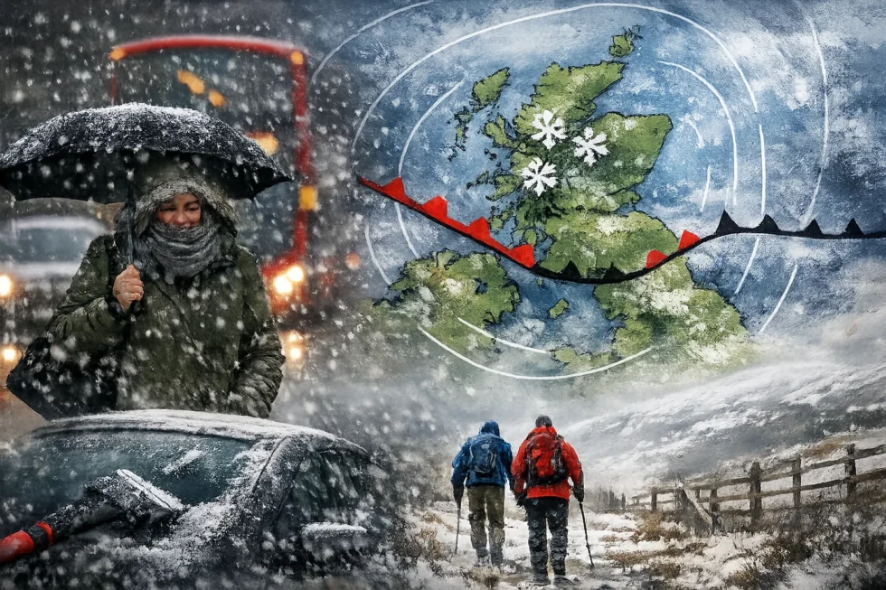
LONDON — Saturday, 4 January 2026. Britain and Scotland are entering a period of wetter schneefall as Arctic air spreads south, bringing snow to northern Scotland and widespread frost and black ice across much of the UK. The developing cold spell is expected to disrupt travel, increase accident risk and push temperatures well below seasonal averages. The WP Times reports, citing official national weather guidance.
A deep pool of Arctic air will dominate the United Kingdom throughout the day, producing a winter pattern defined not only by snowfall but by persistent freezing temperatures, strong northerly winds and rapid refreezing of moisture. While heavy, persistent snow will be limited mainly to Scotland, much of England and Wales will experience dangerous conditions due to ice and sub-zero wind chill.
Temperature overview
| Region | Night minimum | Daytime maximum | Main hazard |
|---|---|---|---|
| Highlands & NE Scotland | –8°C to –4°C | –2°C to 1°C | Heavy snow, drifting |
| Central Scotland | –5°C to –2°C | 1°C to 3°C | Refreezing, ice |
| Northern England | –6°C to –3°C | 1°C to 4°C | Slush turning to ice |
| Midlands | –5°C to –2°C | 2°C to 4°C | Black ice |
| Wales | –3°C to –1°C | 3°C to 6°C | Icy surfaces |
| London & South East | –4°C to –1°C | 4°C to 6°C | Black ice |
| South West England | –2°C to 0°C | 5°C to 7°C | Frost and ice |
Wind chill will make it feel 5 to 10 degrees colder than these readings, especially in northern and eastern areas.
Scotland: snow, ice and freezing winds
Scotland will be the centre of the wetter schneefall zone. Cold northerly air flowing over the North Sea will trigger frequent snow showers across the Highlands, Grampians and the north-east coast, as well as elevated parts of Perthshire and the Southern Uplands.
Daytime temperatures in these areas will remain close to –1°C to 1°C, allowing snow to settle quickly. Overnight lows of –6°C or below will turn compacted snow and slush into hard ice. Strong winds will cause blowing and drifting snow, reducing visibility and increasing the risk on exposed routes.
In the Central Belt, including Glasgow and Edinburgh, snowfall will be more scattered. However, temperatures falling back to –3°C to –4°C after sunset will lead to widespread black ice on roads, pavements and rail platforms.
Northern England: freezing slush and unstable conditions
Northern England will lie on the boundary between Arctic air and milder Atlantic influence. This will produce a mix of snow, sleet and cold rain across Cumbria, the Pennines, Yorkshire and Northumberland.
Daytime temperatures of 2°C to 4°C will cause partial melting, but as evening temperatures drop to –3°C to –5°C, slush will refreeze into solid ice, making secondary roads and pavements particularly hazardous.
Midlands, Wales and southern England: ice is the dominant threat
Most of England and Wales will avoid significant snowfall, but conditions will still be dangerous due to frost and freezing temperatures.
In London and the South East, overnight lows of –2°C to –4°C will produce a hard frost. Even with afternoon highs near 5°C, rapid refreezing after sunset will create widespread black ice.
The Midlands will be colder, with morning lows near –5°C and limited thawing during the day. Wales and the South West will be slightly milder but still cold enough for icy patches, particularly on untreated surfaces.
Transport and infrastructure impact
Snow and ice will create high disruption risk in northern Scotland and on upland routes. Elsewhere, the main danger comes from black ice, especially on bridges, rural roads, pavements and rail platforms. Even where skies are clear, surfaces may remain frozen for much of the day.
Public safety guidance
With temperatures remaining close to or below freezing all day, conditions will remain hazardous.
Drivers
- Reduce speed and increase braking distances
- Avoid unnecessary travel in snow-affected regions
- Carry warm clothing and a charged phone
Pedestrians
- Treat all wet or dark surfaces as ice
- Wear footwear with good grip
- Avoid rushing
Households
- Keep heating on to prevent frozen pipes
- Grit steps and paths
- Check on elderly or vulnerable neighbours
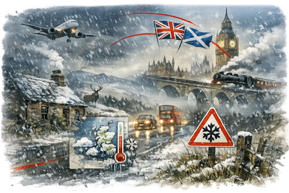
The conditions on 4 January reflect a broader cold spell affecting the UK. Arctic air remains close to the country, and further episodes of snow and ice remain possible in the coming days.
According to the UK Met Office, the Arctic air mass behind this wetter schneefall pattern will continue to keep temperatures near or below freezing across large parts of Britain, with ongoing risks of ice and snow.
Read about the life of Westminster and Pimlico district, London and the world. 24/7 news with fresh and useful updates on culture, business, technology and city life: UK Bank Holidays 2026 confirmed as Boxing Day moves to December 28