Storm Chandra is expected to bring heavy rain, strong winds and snow across large parts of the UK from Monday night into Tuesday, 26–27 January 2026, prompting warnings of flooding, travel disruption and power outages, particularly in south-west England, reportsThe WP Times, citing Met Office.
The storm has been named by the Met Office, which says the main concern is the combination of intense rainfall and already saturated ground following a series of storms earlier this month. Amber weather warnings are in force for heavy rain in the south-west of England and strong winds affecting eastern Northern Ireland, with yellow warnings covering much of the rest of the UK.
Flooding risk increases after weeks of rain
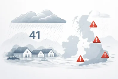
Forecasters warn that rainfall totals of 30–50mm are likely across parts of south-west England, with 60–80mm possible over higher ground, especially south Dartmoor. With rivers already running high and soils unable to absorb more water, even moderate additional rainfall could lead to rapid surface-water flooding and rising river levels. By Monday morning, authorities in England had issued 21 flood warnings, meaning flooding is expected, alongside 99 flood alerts, where flooding is possible. In Wales, Natural Resources Wales has also put flood alerts in place in vulnerable areas. Emergency planners say homes, businesses and transport routes in low-lying or river-adjacent areas face the greatest risk, with some rural communities potentially cut off if roads become impassable.
Damaging winds and coastal impacts
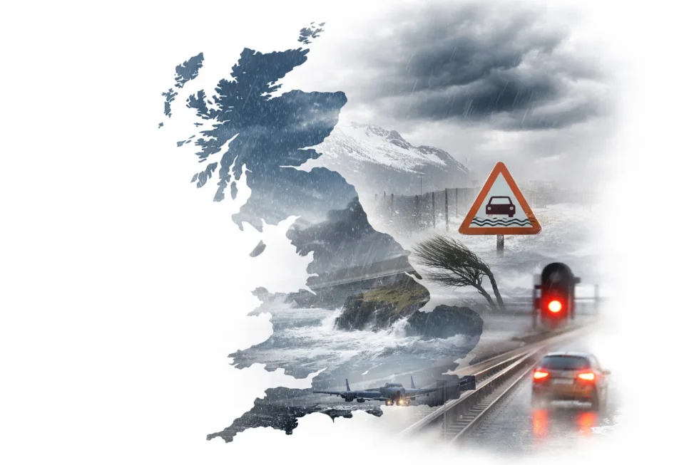
Alongside heavy rain, Storm Chandra is forecast to bring strong to gale-force winds, particularly to coastal and exposed areas. Gusts of 60–70mph are expected widely in exposed locations, with up to 75mph possible along parts of the Northern Ireland coast and the Irish Sea.
Such winds are capable of bringing down trees, damaging roofs and disrupting power supplies, especially where infrastructure has already been weakened by recent storms. Coastal flooding and overtopping waves are also possible as large swells and high tides coincide.
Ferry crossings and rail services in exposed areas may be delayed or cancelled, while motorists are being warned to expect fallen debris and hazardous driving conditions.
Snow adds further disruption in the north
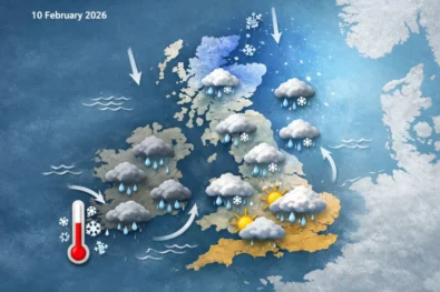
While southern areas face rain and wind, snow is expected across higher ground in northern England and Scotland as colder air interacts with the storm system. Yellow snow warnings indicate 2–5cm of snow could fall widely, with 10–20cm possible above 500 metres, including parts of the Pennines, southern Scotland and the Highlands. Strong winds could cause blowing and drifting snow, reducing visibility and making travel particularly difficult on higher routes.
Transport, power and safety concerns
The Met Office says the combination of hazards means widespread disruption is possible:
- Road travel: flooding, spray and fallen trees
- Rail services: delays, speed restrictions and cancellations
- Air and sea travel: weather-related disruption, especially in western regions
- Power supplies: localised outages due to wind damage
There is also a risk of landslides in areas prone to slope instability after prolonged rainfall.
Why the storm has been named
Storm Chandra is the third named storm of January, following Storm Goretti and Storm Ingrid. Storms are named when forecasters believe they could have medium or high impacts, a system designed to improve public awareness and preparedness. The current naming list is shared between the UK, Ireland and the Netherlands and runs alphabetically through the storm season.
Advice to the public
Authorities are urging people in affected areas to stay up to date with the latest forecasts and warnings, avoid unnecessary travel during the worst conditions and never attempt to drive through floodwater. Residents are also advised to secure loose items, check drains and be prepared for possible power cuts. Those living near rivers or in flood-prone locations are encouraged to monitor local river levels and follow guidance from emergency services.
A month marked by repeated storms
Storm Chandra arrives after an unsettled January that has already seen significant damage and disruption in parts of the UK. Earlier storms brought near-100mph winds to the Isles of Scilly and left thousands without power across Cornwall. Meteorologists say that while winter storms are not unusual, the frequency of high-impact systems arriving in quick succession increases the risk of cumulative damage and flooding. Conditions are expected to evolve rapidly over the next 48 hours, with forecasters stressing that timing and impacts may vary locally as Storm Chandra moves across the country.
Read about the life of Westminster and Pimlico district, London and the world. 24/7 news with fresh and useful updates on culture, business, technology and city life: What is known about stormy UK and London weather on Monday, 26 January 2026