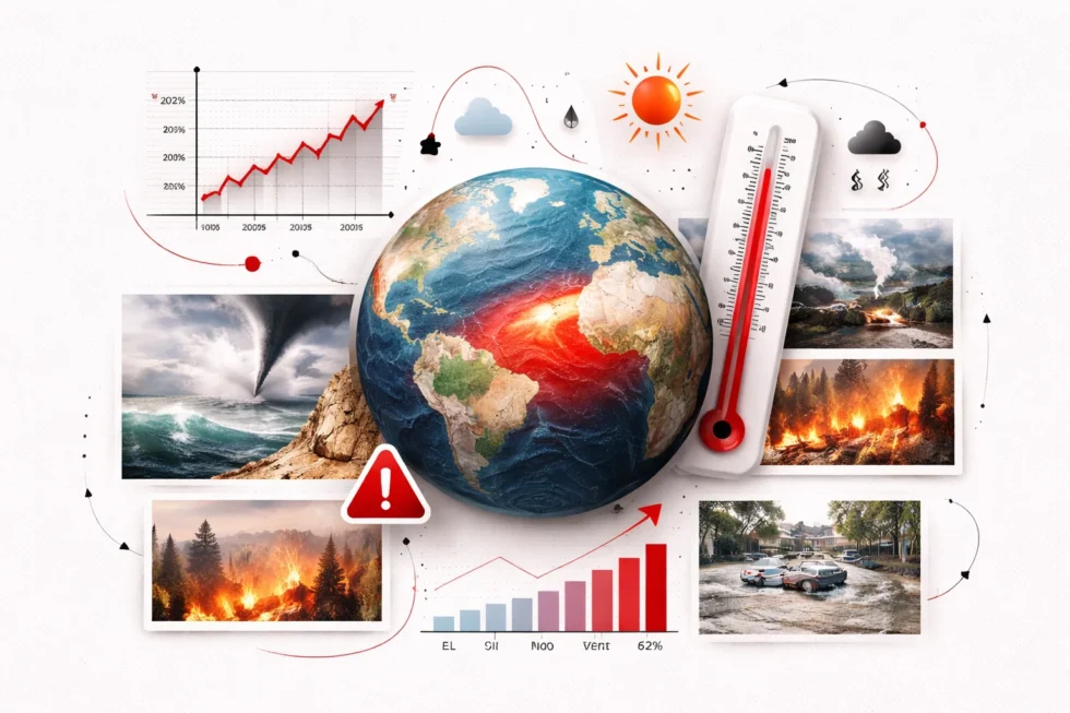
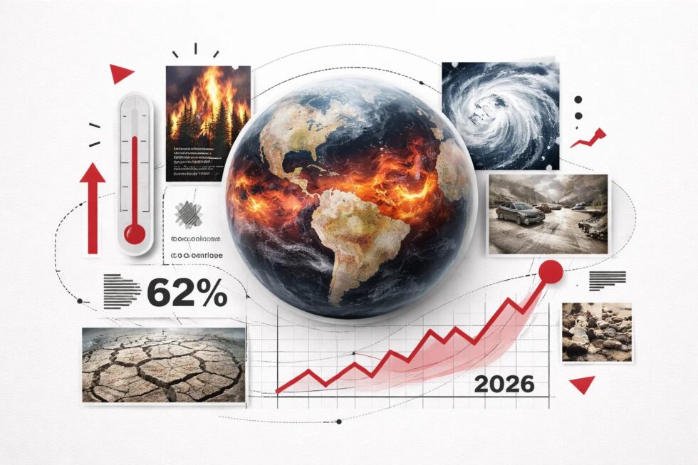
Meteorological agencies are raising alarms as climatic indicators point toward a 62% probability of a powerful El Niño developing by summer 2026, a phenomenon that could redefine global heat records. This shift from the current neutral state threatens to trigger a "Super El Niño," potentially elevating surface sea temperatures by more than 2°C and disrupting atmospheric patterns across every continent as reported by The WP Times, via NOAA.
The international community is closely monitoring the Pacific Ocean’s tropical zones, where warming water suggests a significant departure from the recent La Niña cycle. Experts warn that the convergence of natural variability and human-induced climate change could make the upcoming event the most intense in over 140 years. This transition is not merely a statistical anomaly; it represents a direct threat to food security, water management, and infrastructure as jet streams shift, causing catastrophic flooding in some regions while plunging others into multi-year droughts.
The Mechanics of ENSO and the 2°C Threshold
The El Niño-Southern Oscillation (ENSO) is a complex cycle of oceanic and atmospheric temperature fluctuations that dictates global weather. During an El Niño phase, the trade winds that typically push warm water toward Asia weaken or reverse, allowing hot surface waters to accumulate along the equator toward the Americas. For an event to be classified as "Super," sea surface temperatures must rise at least 2°C above the long-term average, a rare occurrence that has only happened a handful of times since 1950.
- Current Probability: 62% chance of development by late summer 2026.
- Temperature Deviation: Forecasts suggest a possible rise of 2.0°C to 2.5°C.
- Historical Context: Experts compare current models to the devastating 2015-2016 cycle.
- Predictability Barrier: Meteorologists caution that "spring barriers" can still obscure final summer intensities.
Projected Regional Impacts of a High-Intensity Cycle
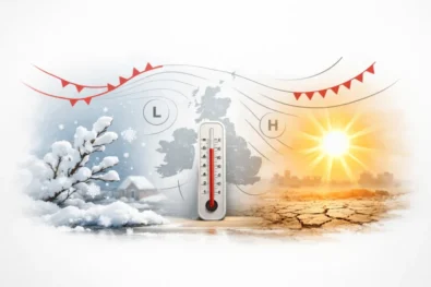
A Super El Niño creates a "winner-takes-all" scenario for precipitation, where the atmospheric moisture is redistributed with violent efficiency. While the southern United States and parts of Central Asia may see a reprieve from long-term water deficits through heavy winter rains, the risk of flash flooding and mudslides increases exponentially. Conversely, vital agricultural hubs in Australia, India, and the Amazon basin face the prospect of scorching heatwaves and failed harvests, which could destabilize global commodity markets and increase the risk of wildfires.
| Region | Expected Weather Pattern | Primary Risk Factor |
| Australia & SE Asia | Extreme Drought / Heat | Crop failure and bushfires |
| Southern USA | Above-average Rainfall | Infrastructure damage / Flooding |
| Amazon Basin | Severe Arid Conditions | Ecosystem collapse / Carbon release |
| East Africa | Erratic Storm Patterns | Locust swarms / Food instability |
| Central Pacific | Tropical Cyclone Surge | Increased hurricane frequency |
Expert Analysis on the Climate Change Feedback Loop
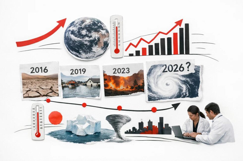
The distinction between natural cycles and global warming is becoming increasingly blurred as baseline temperatures rise. Climatologists argue that modern El Niño events are "supercharged" by the background heat stored in the oceans from greenhouse gas emissions. This synergy means that even a moderate El Niño can now produce record-breaking global temperatures that were previously only possible during extreme events.
"We have this underlying warming trend that makes our El Niños look bigger than they actually are and makes our La Niñas look smaller, simply because everything is getting warmer," explains Dr. Joel Lisonbee, a senior researcher at the Cooperative Institute for Research in Environmental Sciences.
Strategic Preparedness and Economic Mitigation
As the window for preparation narrows, the World Meteorological Organization (WMO) is urging governments to integrate seasonal forecasts into their national security strategies. The economic toll of the 2023-2024 El Niño reached billions of dollars in losses across the agricultural and energy sectors. By utilizing early warning systems, authorities can adjust water reservoir levels, reinforce flood defenses, and stockpile grain to mitigate the inevitable shocks to the global supply chain that a Super El Niño brings.
Case Study: The 2015 Precedent
In 2015, the last major Super El Niño caused a total collapse of the monsoon season in parts of Ethiopia and led to historic water rationing in Puerto Rico. The 2026 models suggest a similar or greater intensity, requiring a level of international cooperation in humanitarian logistics that surpasses previous efforts.
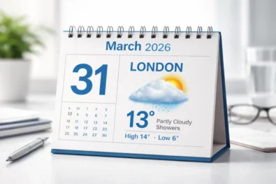
Implications for the United Kingdom: Urban Resilience and Volatile Seasons
For residents of London and major UK cities, the onset of a Super El Niño in 2026 translates into a breakdown of predictable seasonal norms, characterized by unseasonable heat spikes and intensified North Atlantic storm tracks.
According to recent data from the Met Office and environmental reports from early April 2026, London and Manchester have already recorded uncharacteristic spring peaks exceeding 20°C, a precursor to what experts predict will be a summer of "surprise heatwaves."
The warming of the Pacific alters the high-altitude jet streams that dictate British weather, often resulting in a "split" climate effect: southern England faces heightened heatstroke risks and infrastructure strain, while the North contends with a significantly increased probability of flash flooding.
Urban Impact and Infrastructure Vulnerability in 2026
The transition to an El Niño pattern typically weakens the westerly winds from the Atlantic during late winter, but the "Super" variant forecasted for late 2026 is expected to deliver more "energy" into the atmosphere, leading to more frequent and violent gale-force winds. In London, this poses a direct risk to the transport network, particularly overground rail services and flight schedules at Heathrow and Gatwick, where wind-related delays are projected to rise by 15% compared to neutral years.
Furthermore, the "urban heat island" effect in cities like Birmingham and Leeds will likely amplify daytime temperatures during the forecasted summer heatwaves, necessitating the activation of municipal cooling centers and emergency heat-health alerts.
| Urban Risk Factor | Projected Impact 2026/27 | Strategic Countermeasure |
| Heat Extremes | Peaks of 5°C above April/May norms | Activation of city cooling centers |
| Flash Flooding | Saturated drainage in London/Manchester | Deployment of temporary flood barriers |
| Transport Delays | High-wind disruptions at major airports | Enhanced de-icing and wind-shielding |
| Energy Demand | Spikes in cooling costs (AC/Fans) | Grid stabilization for summer surges |
| Agricultural Prices | Muddy fields affecting early harvests | Shift to resilient crop sourcing |
The "Double-Edged" Winter: Warm Spells and Heavy Downpours
While El Niño events are traditionally associated with milder, wetter winters in the UK, the extreme intensity of the 2026 event suggests a period of "meteorological volatility." Residents should prepare for unseasonably warm December days, which may lower heating bills but simultaneously increase the risk of devastating river flooding as seen in previous strong cycles like 2015-2016.
"The 2026 El Niño is not just strong; it is a 'Super El Niño,' meaning Pacific temperatures are nearly 3°C above normal. For the UK, this reaches right into our streets, making journeys longer and outdoor planning a gamble between record heat and sudden downpours," — Extract from Met Office Long-Range Briefing, April 2026.
Practical Steps for UK Residents
To mitigate the effects of the 2026 climate shift, urban dwellers are advised to adopt a proactive stance toward weather readiness. This includes checking the "VBB-Live" equivalent apps for real-time travel disruptions and ensuring home insurance policies cover "flash flood" events, which are increasingly common in paved urban environments.
For families in the South, investing in home cooling solutions before the July peak is recommended, as supply chains for air conditioning units and high-efficiency fans are expected to tighten as the heat intensifies.
Frequently Asked Questions
What exactly defines a "Super El Niño"?
It is an El Niño event where sea surface temperatures in the central Pacific rise at least 2°C above the historical average, leading to more extreme global weather shifts.
How does this affect global temperatures in 2027?
If a strong El Niño develops in late 2026, 2027 is statistically likely to become the hottest year on record due to the delayed release of oceanic heat into the atmosphere.
Will the rain from El Niño end the drought in the US Southwest?
While it provides temporary relief, experts warn that "temperature-driven" droughts require sustained wet years to recover, and one season of heavy rain often causes more damage via flooding.
When will we know for sure if it is a "Super" event?
Confidence levels will solidify by July 2026, once the "spring predictability barrier" is passed and summer oceanic trends are established.
Can climate change stop El Niño?
No, but it alters the baseline. Climate change provides more energy to the system, making the impacts of El Niño more volatile and the heatwaves more lethal.
Read about the life of Westminster and Pimlico district, London and the world. 24/7 news with fresh and useful updates on culture, business, technology and city life: Weather tomorrow 14 April in London and UK: cooler Atlantic air stabilises Britain with cloud, showers and seasonal reset