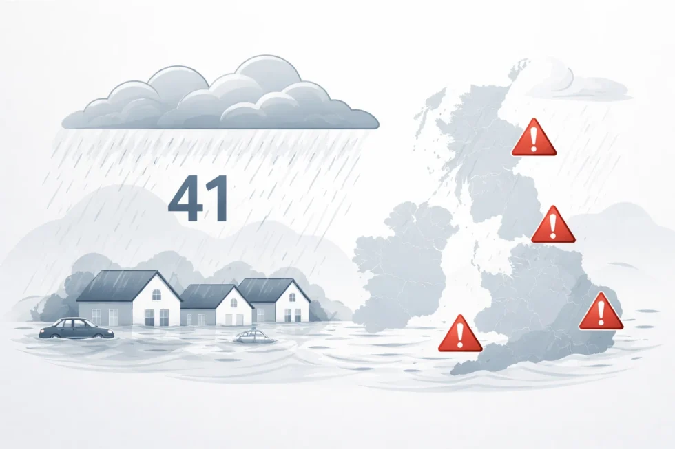
Today, 10 February 2026, Britain’s weather continues to reflect one of the most prolonged wet spells seen in recent decades. Official figures from the Met Office confirm that rain has now fallen somewhere in the UK for 41 consecutive days, meaning there has not been a single fully dry day nationwide since the start of the year. Meteorologists describe the sequence as highly unusual, even by British standards, reports The WP Times.
What distinguishes this period is not the severity of individual downpours, but their unbroken persistence. Rivers, soils and drainage systems have had no meaningful recovery time since late December. As a result, ground conditions across much of the country are now fully saturated, stripping the landscape of its natural capacity to absorb rainfall.
In these conditions, even modest precipitation — well within seasonal norms — is sufficient to trigger surface water flooding, river overtopping and additional strain on ageing infrastructure. This is why flood risk remains elevated across large parts of the UK today, despite the absence of extreme single-day rainfall records.
41 days of rain: how unusual is this
Rain has fallen every day since 31 December 2025, placing 2026 on track to become one of the wettest starts to a year ever recorded. Several long-running weather stations have logged 40–41 consecutive wet days, a run climatologists say would once have been considered statistically rare.
The key issue is saturation. Once soils reach maximum capacity, water can no longer be absorbed. At that point, rainfall that would normally drain away instead flows directly into rivers and urban systems, sharply increasing flood risk — particularly in low-lying catchments and built-up areas.
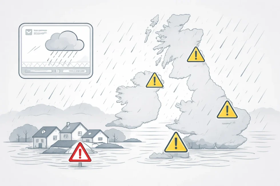
Which parts of the UK are worst affected today
The impact of the prolonged rainfall is uneven but acute, reflecting local geography, river catchments and prior saturation. Several regions continue to face heightened flood risk and ongoing disruption:
- South West England – Cornwall and Devon remain among the most exposed areas. Repeated Atlantic fronts have driven rivers to flood stage multiple times, leaving little scope for recovery between systems and increasing pressure on flood defences and rural infrastructure.
- Southern England – Parts of Hampshire, Dorset and Worcestershire are experiencing flooding linked to saturated ground and swollen tributaries rather than exceptional single-day rainfall totals. Surface water flooding has been a particular issue in low-lying communities and along transport corridors.
- Northern Ireland – January has been officially confirmed as the wettest in 149 years, a milestone that underscores the severity of this winter. River catchments remain highly responsive, meaning further rainfall could rapidly escalate impacts.
- Scotland – Western regions continue to see persistent rain, while higher ground has experienced hill snow, compounding runoff risks during milder spells. In the north-east, the problem has been less about rainfall intensity and more about the absence of sunlight, with knock-on effects for soil drying and temperatures.
In Aberdeen, residents have now endured more than 14 consecutive days without a single minute of sunshine — the longest such period since local records began in 1957. Meteorologists note that this lack of solar radiation has further limited evaporation, prolonging wet ground conditions even during lighter rainfall periods. Overall, forecasters stress that it is the accumulation and persistence, rather than extreme daily downpours, that continues to drive risk across much of the UK today.ce local records began in 1957.
Rainfall records already broken this winter
According to the Met Office, winter 2025–26 has already crossed multiple historical thresholds, with both national and local records falling well before the season has ended. Forecasters note that the significance lies not only in peak daily totals, but in the breadth and consistency of record-breaking rainfall across the UK.
- Cornwall and County Down – wettest January on record, reflecting repeated exposure to slow-moving Atlantic systems
- 26 UK weather stations – new monthly rainfall records established, underlining the national scale of the event
- Plymouth – wettest January day in 104 years, highlighting the intensity of individual rainfall episodes within the wider wet spell
- Hurn (Dorset) – wettest January day in 74 years
- Dunkeswell (Devon) – wettest January day in 57 years
Several monitoring sites, including North Wyke, Cardinham and Astwood Bank, have now recorded around 40 consecutive days of rainfall between late December and early February. Climatologists stress that sequences of this length dramatically reduce resilience in river catchments, increasing the likelihood that further rainfall — even at moderate levels — will trigger flooding. Taken together, these records suggest that winter 2025–26 is already among the most hydrologically disruptive in recent UK history, with impacts likely to persist well beyond the end of the meteorological winter. Bank have now recorded around 40 consecutive days of rainbetween late December and early February.
How much rain has fallen compared with a normal winter
The scale of this winter’s rainfall becomes clearer when set against long-term averages. With the season not yet over, the UK has already received close to nine-tenths of a typical winter’s rainfall, a level that would normally only be reached towards the very end of February. That national figure conceals sharp regional imbalances:
- England has taken on well above a full winter’s worth of rain, leaving many river catchments effectively overloaded.
- Wales is close to its seasonal norm, but with little remaining capacity to absorb further rainfall.
- Northern Ireland has already matched an average winter total, sustaining high pressure on rivers and drainage networks.
- Scotland, while lower overall, shows strong contrasts, with the west significantly wetter than the east.
Meteorologists emphasise that the true risk lies not in headline totals, but in what comes after them. Weeks of uninterrupted rain have left soils fully saturated and waterways running high, stripping the landscape of its natural buffering ability. Under these conditions, rainfall that would usually pass with limited impact can now translate rapidly into flooding, keeping risk levels elevated even if precipitation eases.
Why the rain is not stopping
Meteorologists say the current spell is not the result of a single extreme storm, but of a locked atmospheric pattern that has become unusually persistent. The Atlantic jet stream has shifted south of its typical track, steering one low-pressure system after another directly across the UK rather than allowing weather fronts to clear eastwards.
That pattern has been reinforced by colder air repeatedly pushing south across North America, sharpening the temperature contrast over the North Atlantic. At the same time, a blocking high-pressure system over northern Europe has acted like a barrier, slowing the normal west-to-east progression of weather systems. The result has been a conveyor belt of Atlantic lows that stall rather than pass through, delivering rain in repeated waves.
As one senior forecaster put it, “None of these systems are exceptional on their own. What makes this winter different is that the atmosphere has refused to reset.”
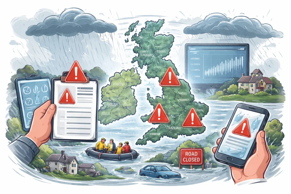
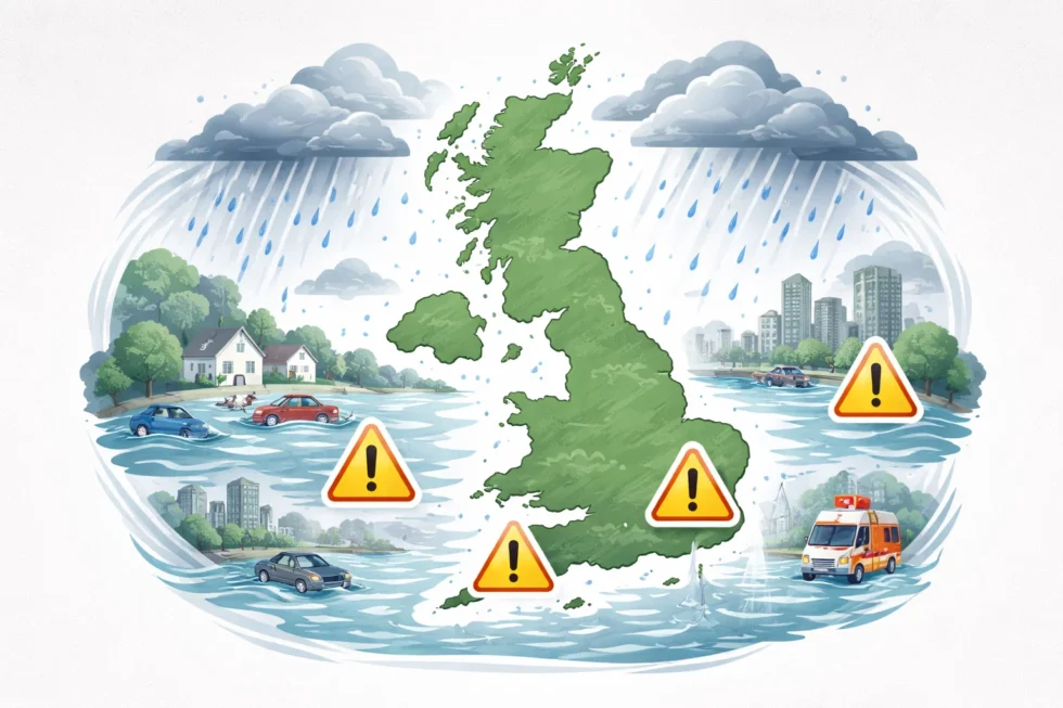
Flood warnings and disruption
With ground conditions already saturated, the impact has quickly translated into operational pressure on flood defences and transport networks. The Environment Agency currently has more than 100 active flood warnings in place across England, while yellow rain warnings remain active across large areas.
South West England and parts of Scotland continue to be among the most exposed regions. Floodwater has affected rural roads, farmland and sporting infrastructure, including Worcestershire County Cricket Club’s New Road ground, which has once again been rendered unplayable — a recurring symbol of how prolonged rainfall, rather than single events, is driving disruption.
Is there any sign of improvement
Short-term forecasts offer limited relief. Models point to a brief lull later in the week, with a window of colder, drier and calmer conditions possible. However, forecasters are careful to temper expectations. Any improvement is expected to be temporary, with further Atlantic systems already lining up to approach from the west towards the end of the weekend. Crucially, meteorologists stress that this does not indicate a transition to a stable or sustained dry pattern.
Environmental and wildlife impact
The ecological consequences are already becoming apparent. The The Wildlife Trusts warns that prolonged high water levels are placing severe stress on river systems and wildlife habitats. Pollutants are being washed from farmland into rivers, while softened banks are collapsing under sustained flow. Nesting sites for species such as water voles and kingfishers have been lost, and flooded burrows and destroyed eggs risk triggering wider knock-on effects through local food chains, potentially affecting birds of prey and mammals later in the year.
Why winters like this may become more common
Climate scientists caution that this winter fits a broader pattern linked to warming temperatures. Warmer air can hold more moisture, increasing the likelihood not just of heavier rainfall, but of longer-lasting wet spells. As the climate warms, UK winters dominated by persistent rain rather than cold, settled conditions are expected to become more frequent. That shift presents long-term challenges for flood management, agriculture and biodiversity — particularly in a landscape and infrastructure system designed around historical rainfall norms.
For now, Britain remains under a wet, Atlantic-driven weather regime. While short breaks are possible, forecasters see no clear signal of a sustained dry period emerging in the near term. Flood risk, infrastructure strain and environmental pressure are therefore expected to continue across large parts of the UK in the days ahead.
Read about the life of Westminster and Pimlico district, London and the world. 24/7 news with fresh and useful updates on culture, business, technology and city life: Why are vitamin D users in the UK warned to stop supplements when these symptoms appear